

Overview
Il percorso tocca i colli del Lys, Portia, Lunella e Grisoni, valichi storicamente utilizzati dai montanari per spostarsi tra le valli di Viù, Susa, Richiaglio e Casternone. La vicinanza alla pianura torinese rese questa zona, oggi tutelata dal parco naturale del colle del Lys, particolarmente strategica durante la Resistenza: le formazioni partigiane vi trovarono rifugio allestendo ricoveri e depositi di viveri, armi ed equipaggiamento. Proprio qui il 2 luglio 1944 si consumò uno degli episodi più dolorosi della lotta partigiana piemontese: ventisei giovani furono rastrellati, torturati e fucilati dalle truppe naziste. Questa camminata ne ripercorre simbolicamente i passi, per tenere viva la memoria di chi su questi sentieri ha pagato il prezzo più alto.
Starting point
DirectionsFrom the northeastern side of the Colle del Lys parking area, take the wide gravel road that gently descends into the Colle del Lys Natural Park, skirting the northwestern slopes of Mount Arpone. From the very start, excellent views open up towards the Gran Paradiso massif.
The track winds downhill through woodlands dominated by birch and larch trees, crossing several block streams typical of this area—dark accumulations of broken rock that bear witness to the ancient oceanic origins of the underlying geological formations. Openings among the trees provide broad views of the Civrari massif, the Gran Paradiso range and the Richiaglio valley, a branch of the Viù Valley.
Upon reaching the lowest point of the route (1,222 m), the road begins climbing again, passing several picnic tables and benches. After a few gentle ups and downs, you arrive at Barlot Fountain (1,230 m).
Leave the gravel road here (you will return to it later) and take the mule track that climbs to the right through a dense forest of beech and pine trees. A series of switchbacks leads to Portia Pass (1,322 m), the watershed overlooking the Casternone Valley, where the refuge of the same name stands. Despite its name, this is not a staffed mountain hut but a simple emergency shelter. Since it replaced an old wayside shrine, it is still commonly known as “Cappella Portia” (Portia Chapel).
Take the path that climbs steeply to the left, entering a small woodland. Continue along the mountainside above the Casternone Valley, traversing several stretches of rough rocky ground. As compensation for the uneven footing, the route offers fine views of nearby Mount Musinè.
Suddenly, the trail emerges onto a grassy clearing dotted with birch trees, marking the highest point of the entire itinerary (1,416 m). Ignore the branch leading to Il Pilone and descend to the right, crossing further rocky sections. The trail then continues on a gentle descending traverse, passing near the wooden chalet of the Lunella guesthouse, which remains slightly below the path.
The route crosses beautiful meadows with magnificent views of the Gran Paradiso range, skirts a small hillock on the left and then bends right towards nearby Lunella Pass (1,372 m), which, like Portia Pass, marks the watershed with the Casternone Valley.
Continue left in the direction of Mount Colombano. After a short distance (waymarker), turn left again and follow a long contouring traverse along its slopes. Cross additional scree deposits, pass a water intake structure and reach the attractive hamlet of Giuglitera (1,344 m), where a gravel road is encountered (you will return along it later).
Remain on the trail, crossing further rocky sections until reaching Grisoni Pass (1,398 m), the watershed overlooking the Rio delle Toglie valley, a tributary of the lower Viù Valley.
On 23 September 1944, a group of Nazi-Fascist troops, concealed by extremely dense fog, advanced up the Rio delle Toglie valley and crossed Grisoni Pass, taking a partisan detachment by surprise. The partisans managed to withdraw towards Colle del Lys without casualties, but their mountain huts were burned down and the group was forced to relocate to the lower Susa Valley.
Ignore the trail descending into the Rio delle Toglie valley and follow a grassy track heading southwest. Although not particularly obvious, it is marked with paint blazes and cairns and descends towards a gravel road.
Follow the road to the left and, after several short ascents and descents, return to the houses of Giuglitera. A little farther on, at a junction, descend to the right. At a hairpin bend (1,270 m), before crossing a stream, leave the main road and turn left onto a secondary track which follows a shorter route before rejoining the road lower down (1,214 m).
Continue left along the well-surfaced lane, which first runs almost level and then climbs gently back to Barlot Fountain. Having completed the loop, simply retrace your steps to return to Colle del Lys.
Testo di Valerio Dutto di Cuneotrekking.comIn the square at Colle del Lys stands an imposing circular brick tower, nearly eight metres high and faced with exposed river stones. The monument commemorates the more than two thousand partisans who lost their lives in the Lanzo, Susa, Sangone and Chisone valleys. A visit to the Resistance Ecomuseum is highly recommended, as it documents and preserves the memory of the partisan struggle that took place throughout these mountains.
Report a problem
Did you encounter a problem on this itinerary? Let us know and help us keep all routes safe and accessible for everyone.
Submit report




Nearby
Lanzo Crossing 9 – Closing the Circle
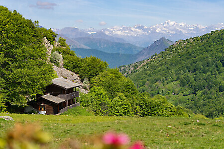
ViùThe ninth and final stage leads from the town of Viù to Pessinetto. The concluding stage of the traverse is accessible and manageable, featuring moderate distances and elevation changes. The route climbs through the beautiful valley north of Viù to reach Colle della Cialmetta, before descending back toward Val d’Ala…
Punta Sourela
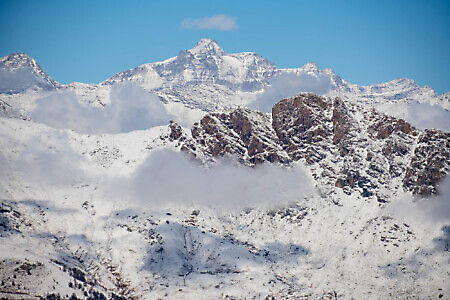
ViùThis summit is an increasingly popular winter destination, attracting both snowshoers and ski tourers (provided there is enough snow). It lies on the left-hand side of the Richiaglio side valley, a branch of the Viù Valley, and forms part of the Civrari massif, a group of peaks that also includes…
Chapel of the Madonna della Neve
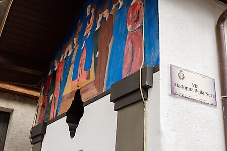
Piazza Schiari (Viù)The Chapel of the Madonna della Neve, located at the village’s centre, serves as the focal point of Pascheretto, one...
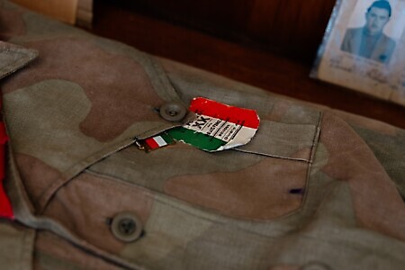
Ecomuseum of the Resistance
Piazzale del Colle del Lys (Viù)A place of memory linked to the history of the local resistance, situated on the watershed between the Lanzo Valleys...
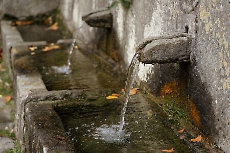
Fountain at Pessinea, Old Wash House, and Sanctuary of the Madonna della Consolata
Frazione Pessinea (Viù)This hamlet is the last in the town of Viù. It remains largely unchanged, maintaining the traditional pedestrian lanes that...
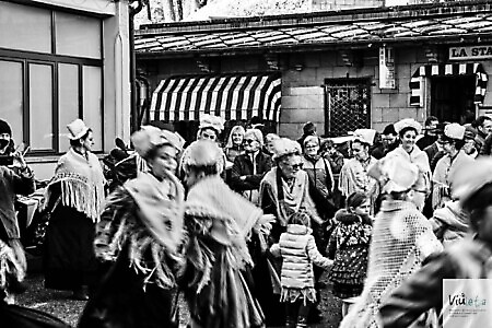
VIULETA 2026
ViùFrom 23/08/2026 to 22/11/2026
VIULETA 2026 is a renowned widespread event of spontaneous singing and oral tradition music that takes place in Viù. The...