
Overview
The ninth and final stage leads from the town of Viù to Pessinetto.
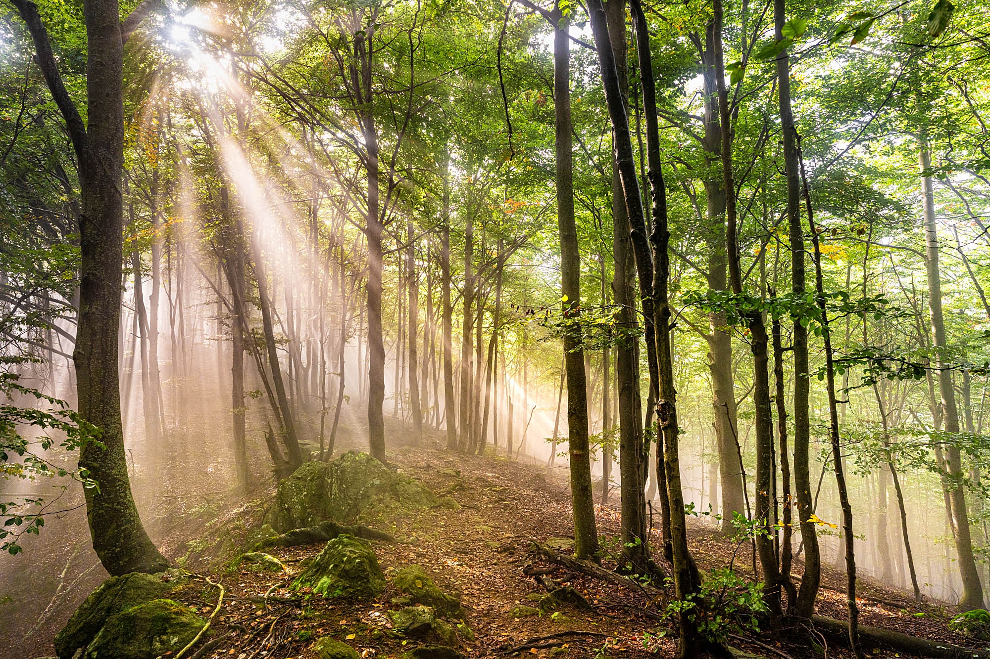
The concluding stage of the traverse is accessible and manageable, featuring moderate distances and elevation changes. The route climbs through the beautiful valley north of Viù to reach Colle della Cialmetta, before descending back toward Val d’Ala and the town of Pessinetto. From here, the train provides a convenient return to Lanzo Torinese and Turin.
Starting point
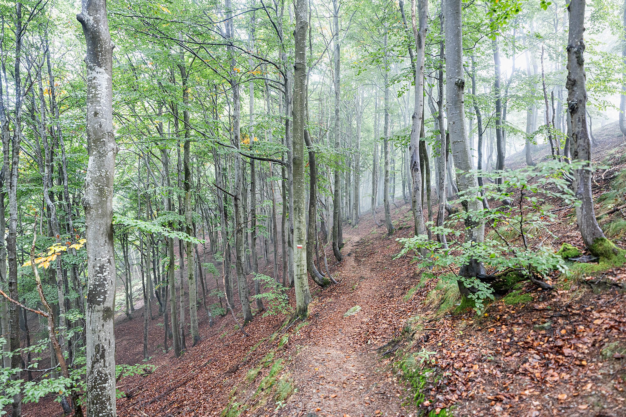
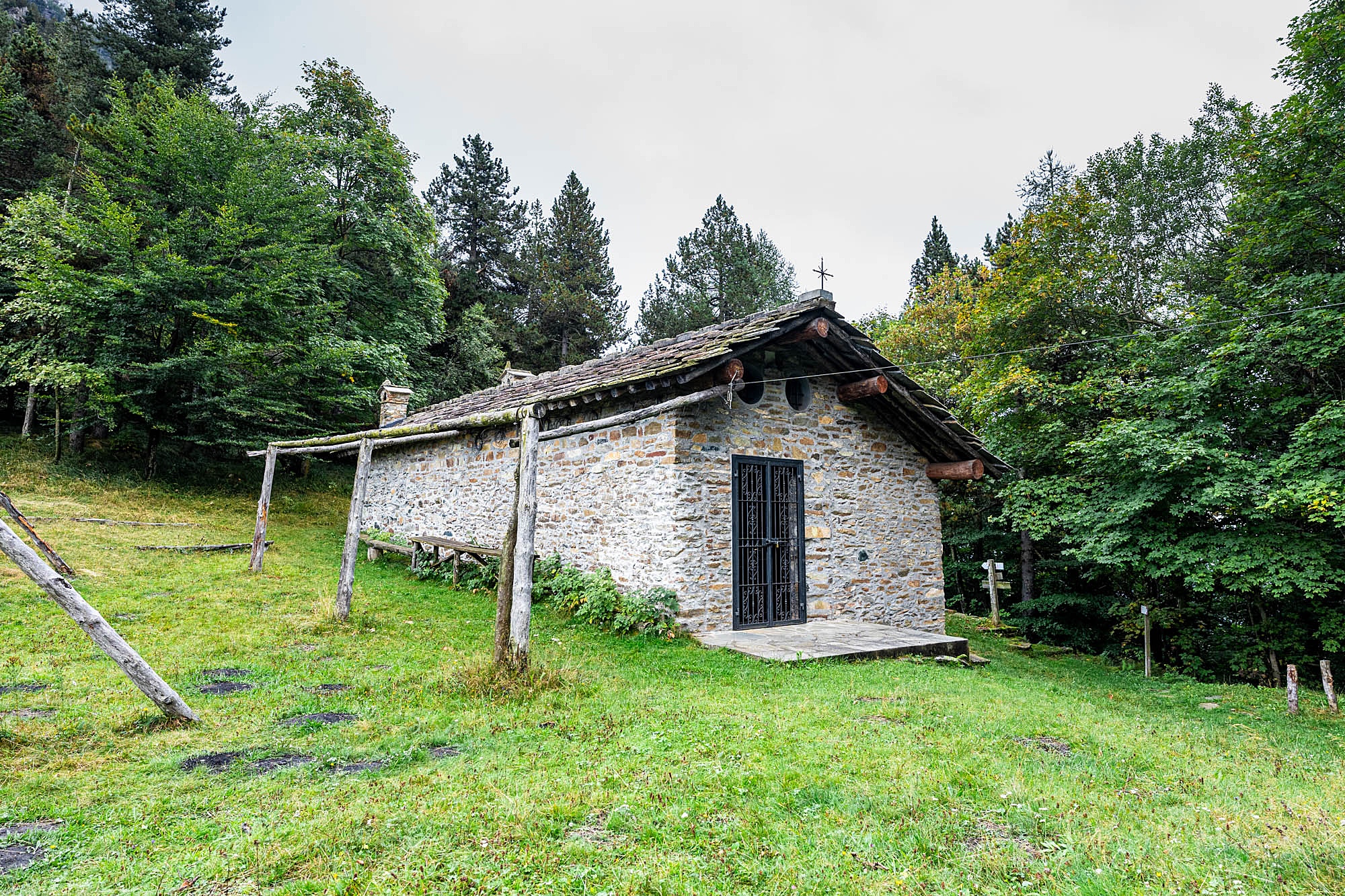
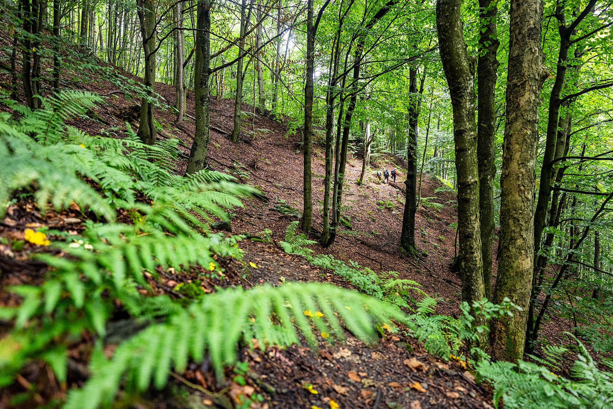
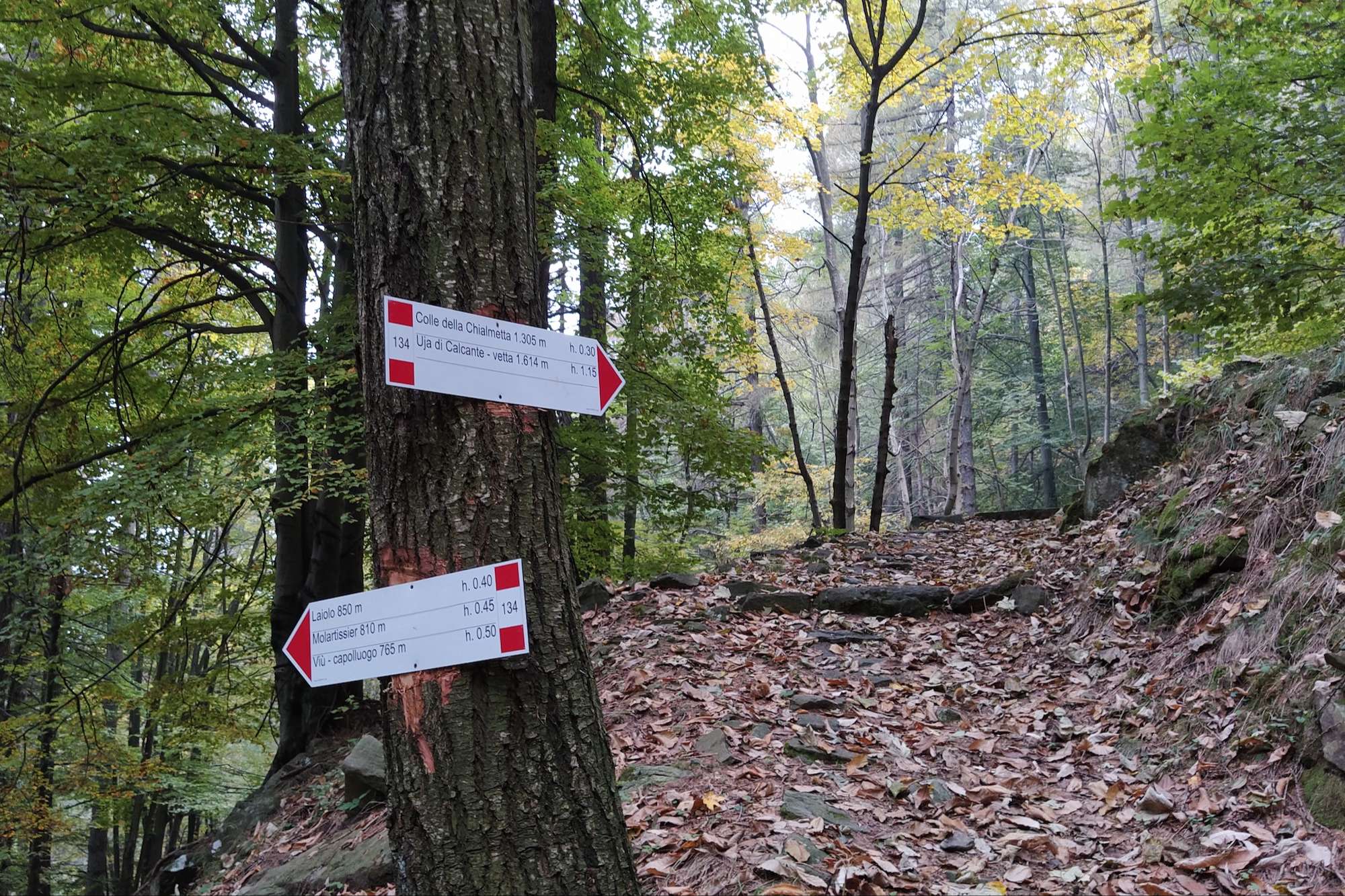
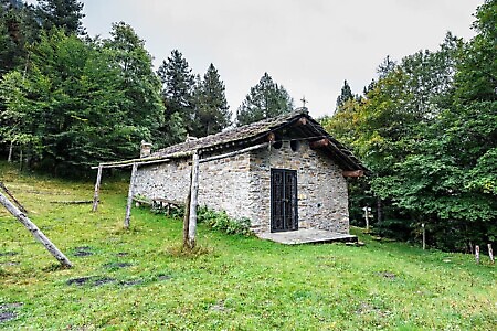
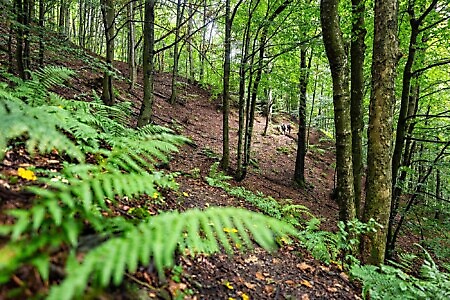
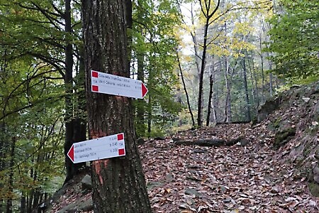
DirectionsFrom the center of Viù, follow trail 134. Leave the paved road at a sharp hairpin bend and climb gently northward, staying on the orographic right bank of the stream. The path leads through serene woodlands with a moderate gradient until reaching a steeper section; wide zig-zags then lead up to Colle della Cialmetta (1,305 m), where a small Alpine chapel and a social mountain hut stand.
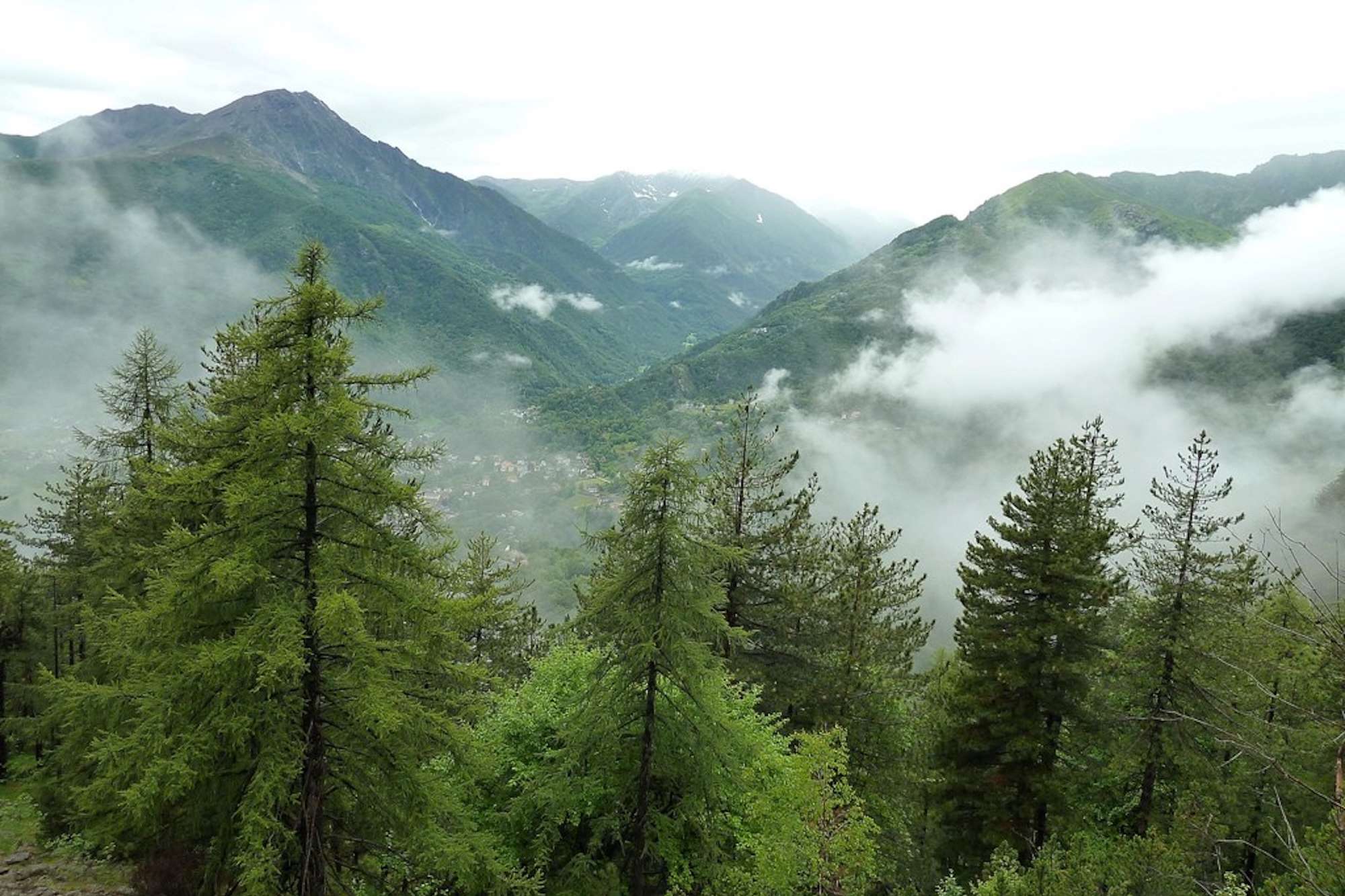
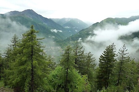
The environment here is evocative, dominated by a lush beech forest from which the peak of Uja di Calcante emerges, clearly visible from the pass. For those wishing to enjoy an expansive panorama over the lower Val di Viù, the summit can be reached via a 45-minute detour.
From the pass, follow trail 204A toward the hamlet of Monti, which is reached after a short stretch along the paved road coming from Colle della Dieta. After passing through Monti, continue on trail 204C toward the village of Bogliano. From here, leave the provincial road that leads to Mezzenile and descend toward the Stura river. Cross the river to reach the town and the Pessinetto railway station.
From Pessinetto, you can easily reach Lanzo Torinese, the Turin-Caselle International Airport, and the city of Turin via train or bus.
Download the full itinerary in PDF
Report a problem
Did you encounter a problem on this itinerary? Let us know and help us keep all routes safe and accessible for everyone.
Submit report 
Nearby
Partisan Trail
ViùIl percorso tocca i colli del Lys, Portia, Lunella e Grisoni, valichi storicamente utilizzati dai montanari per spostarsi tra le valli di Viù, Susa, Richiaglio e Casternone. La vicinanza alla pianura torinese rese questa zona, oggi tutelata dal parco naturale del colle del Lys, particolarmente strategica durante la Resistenza: le…
Punta Sourela
ViùThis summit is an increasingly popular winter destination, attracting both snowshoers and ski tourers (provided there is enough snow). It lies on the left-hand side of the Richiaglio side valley, a branch of the Viù Valley, and forms part of the Civrari massif, a group of peaks that also includes…
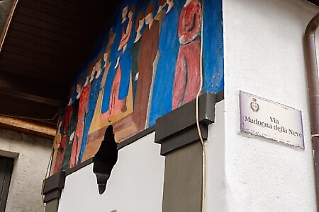
Chapel of the Madonna della Neve
Piazza Schiari (Viù)The Chapel of the Madonna della Neve, located at the village’s centre, serves as the focal point of Pascheretto, one...
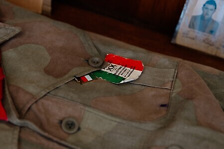
Ecomuseum of the Resistance
Piazzale del Colle del Lys (Viù)A place of memory linked to the history of the local resistance, situated on the watershed between the Lanzo Valleys...
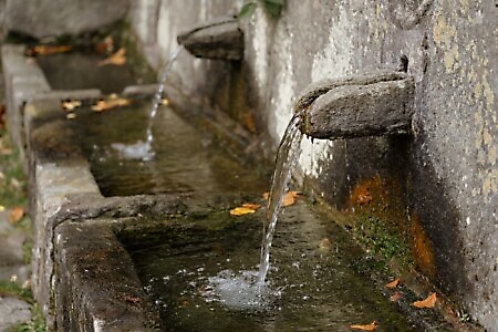
Fountain at Pessinea, Old Wash House, and Sanctuary of the Madonna della Consolata
Frazione Pessinea (Viù)This hamlet is the last in the town of Viù. It remains largely unchanged, maintaining the traditional pedestrian lanes that...
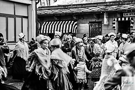
VIULETA 2026
ViùFrom 22/08/2026 to 22/11/2026
VIULETA 2026 is a renowned widespread event of spontaneous singing and oral tradition music that takes place in Viù. The...