
Overview
The seventh stage leads from Rifugio Cibrario to Usseglio.
A spectacular high-altitude stage that links several mountain passes to reach the Colle dell'Autaret and the scenic Malciaussia basin, before returning to Usseglio. While the itinerary presents no technical challenges, it should not be underestimated due to its significant length and substantial descent.
Starting point
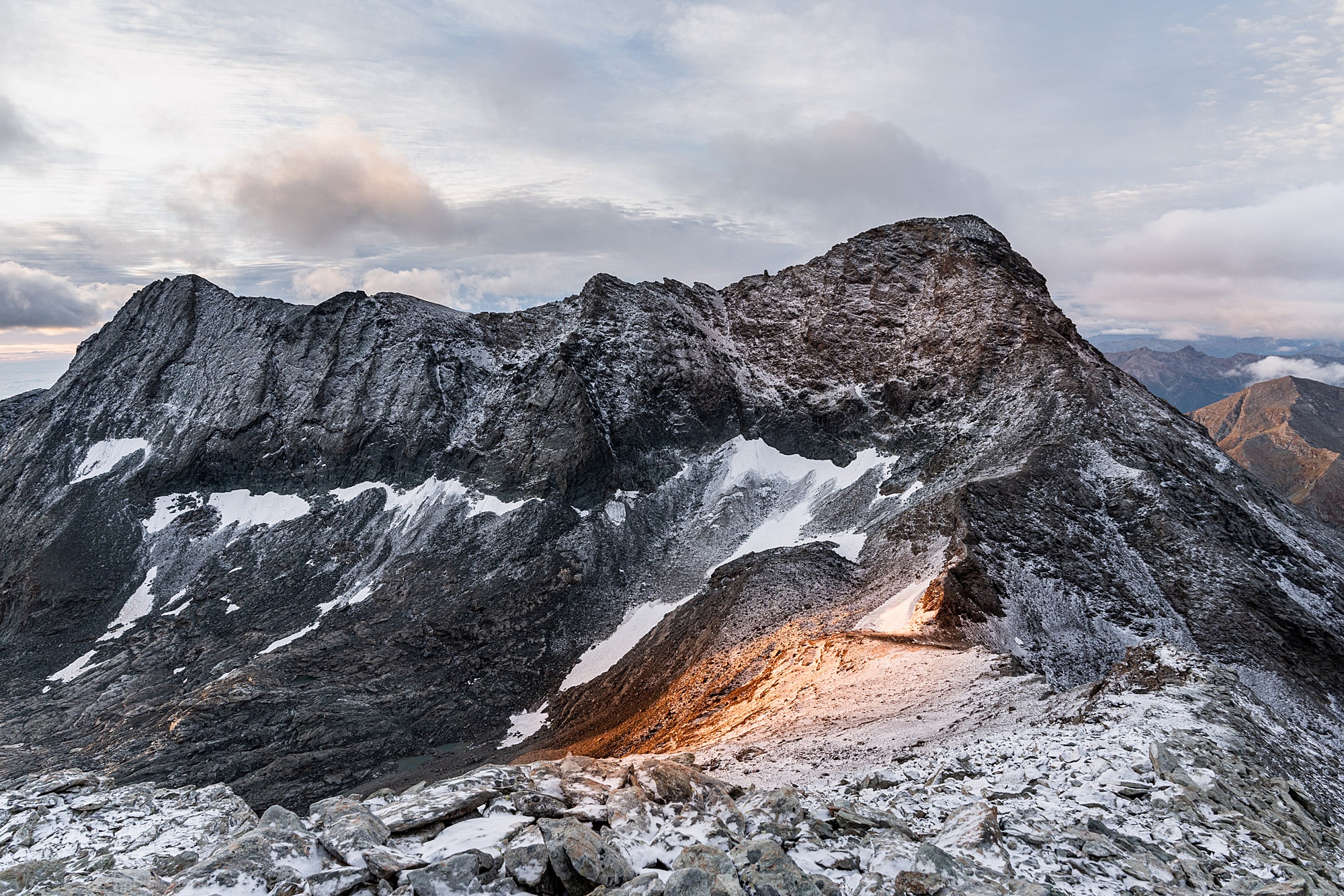
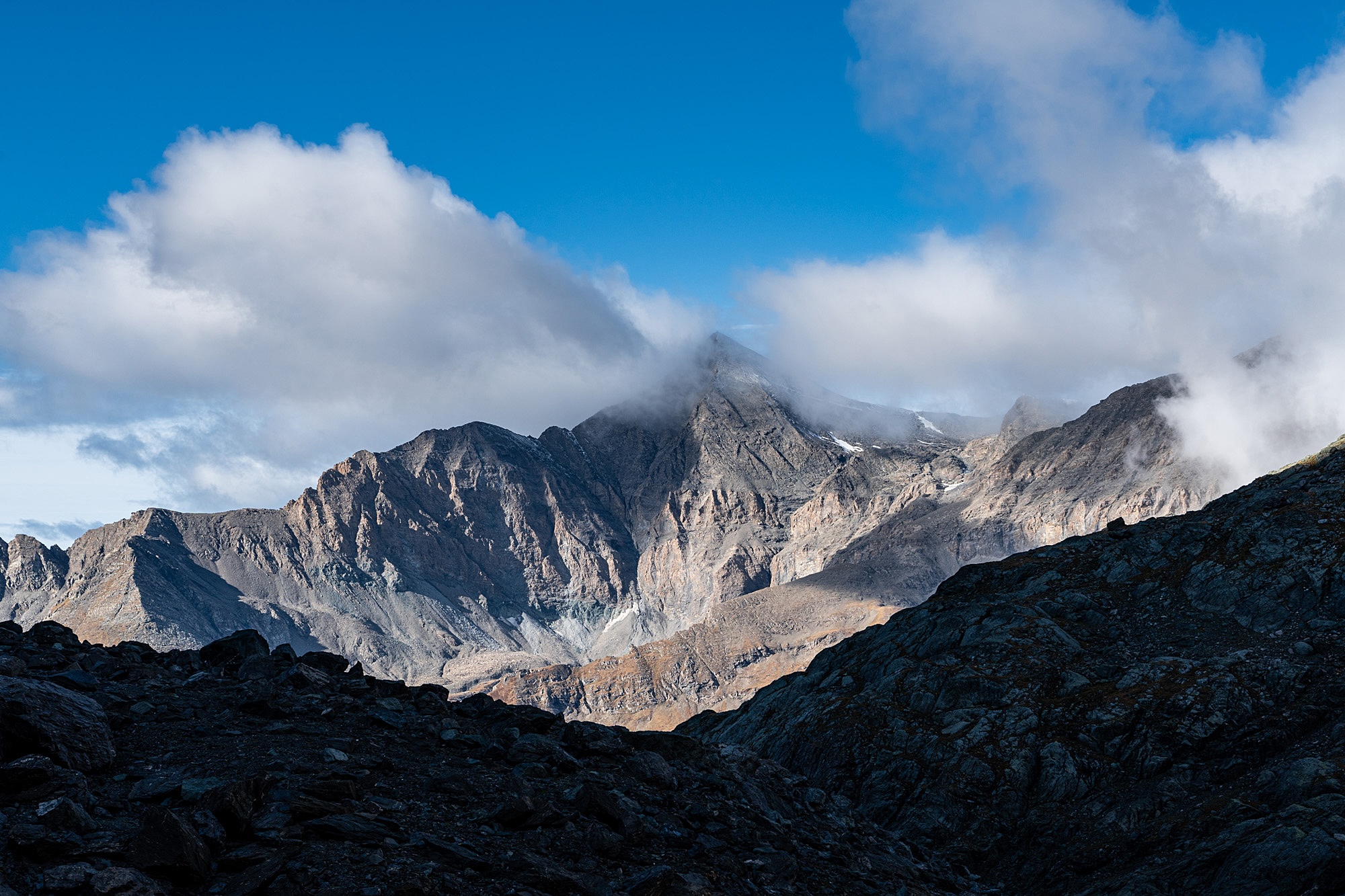
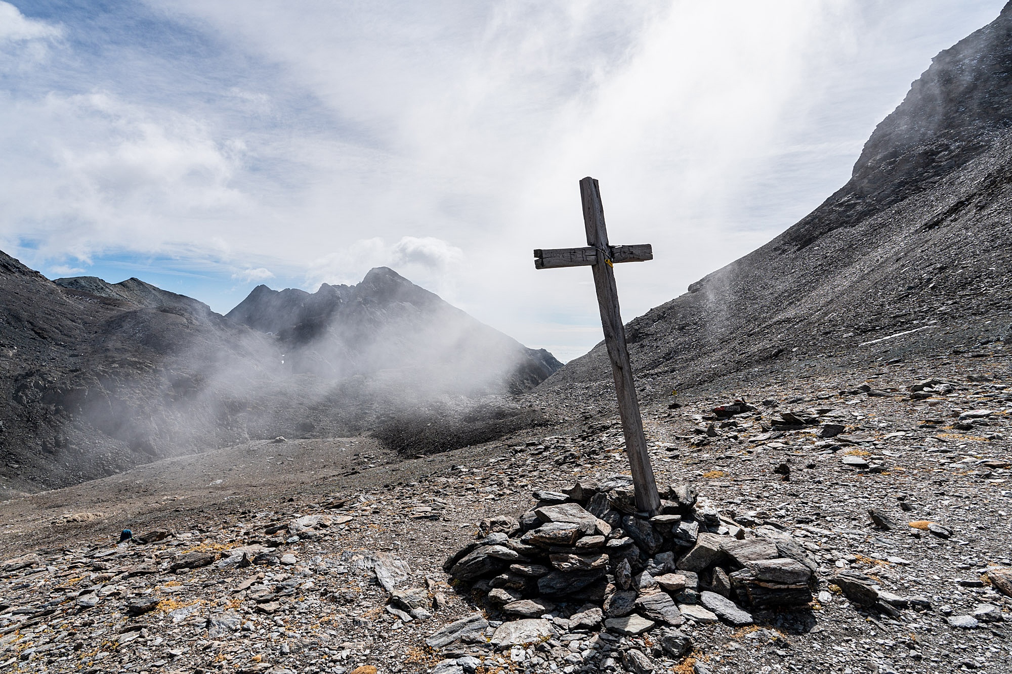
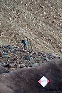
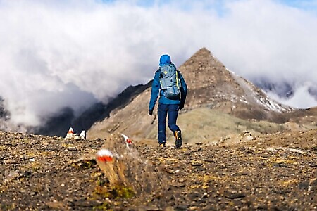
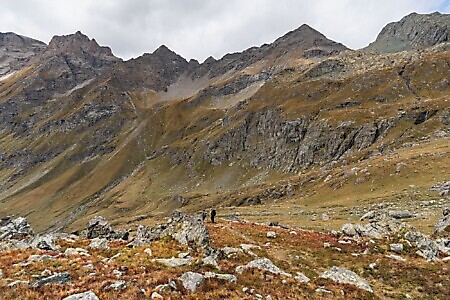
DirectionsFrom Rifugio Cibrario, cross the semi-marshy plateau known as Pian dei Sabiunin heading west. Aim for the prominent debris cone—often covered by snow patches until late summer—crossing it to climb the steep slope on the left. In this section, the stone cairns can be difficult to spot, but near the cone, both the trail and the markings (Trail 122, TB) become clear. The path, which follows the Tour della Bessanese, climbs steeply for about an hour over scree and loose rock before entering a highly scenic valley. A final uphill stretch leads to Colle Sulè (3,073 m).
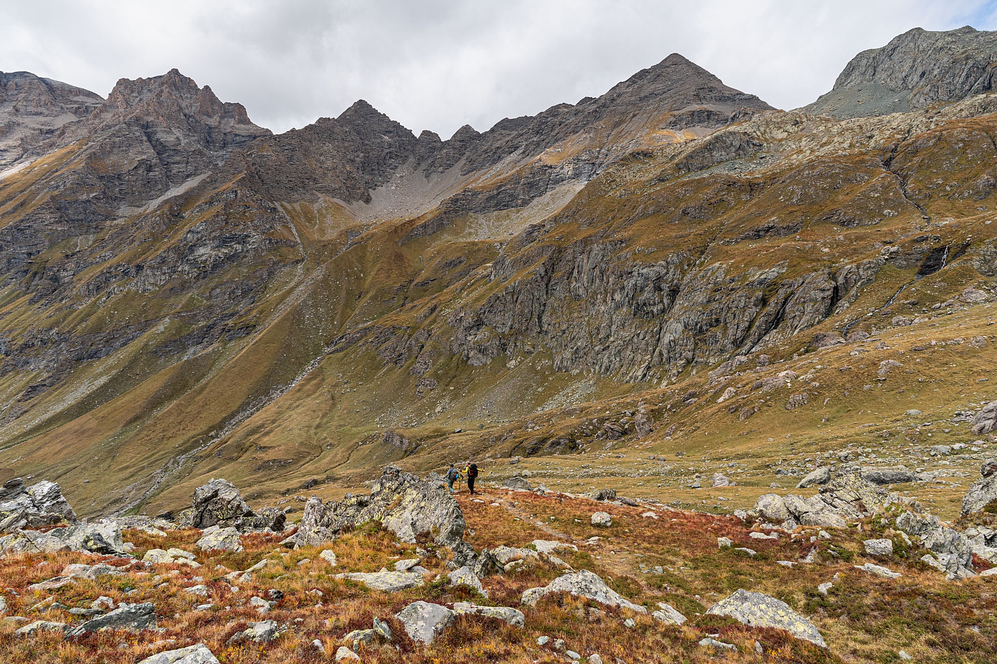
From the pass, a sharp descent leads into the Gavie Valley. At the bottom, turn right following the 122 TB markers, ignoring the trail that continues down the valley to the left. After an uphill section, you reach the small valley of Lago Gavie and continue heading west.
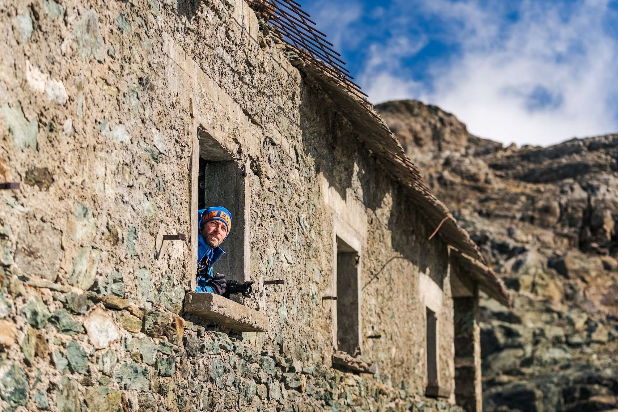
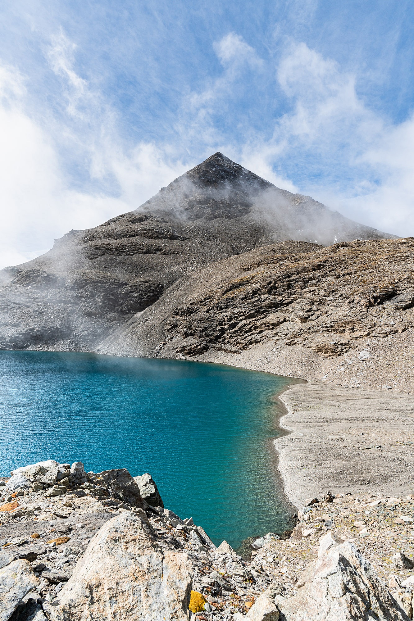
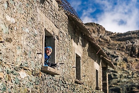
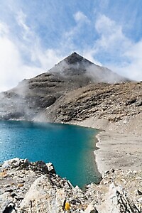
With a few bends and undulations, the path passes near an abandoned military barracks dating back to the 1930s. After crossing a small ridge, descend into the basin of the Upper Autaret Lake (2,991 m). Traverse its eastern shore along a slightly exposed stretch, followed by a slope that terminates at Colle dell’Autaret (3,077 m).
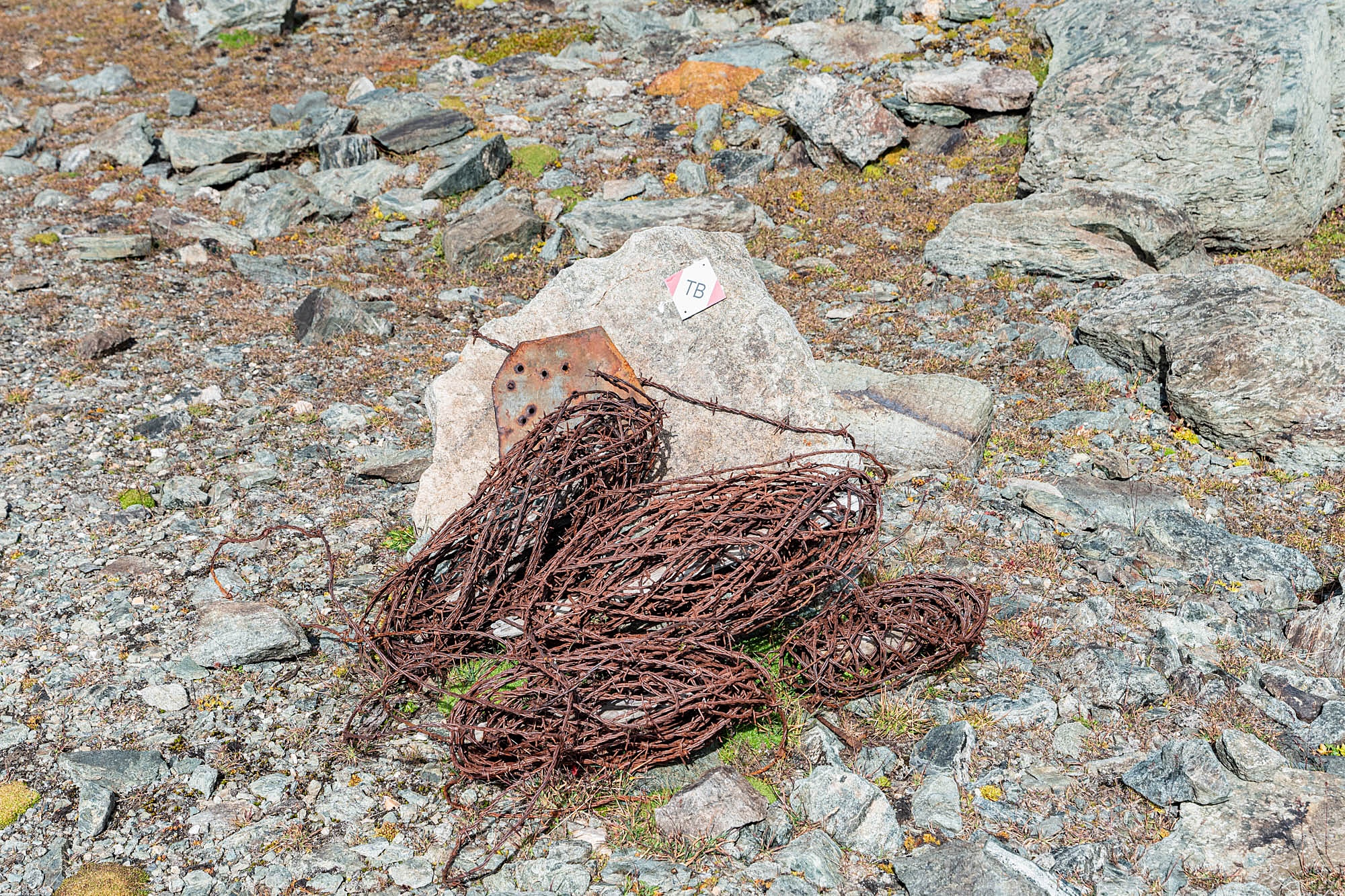
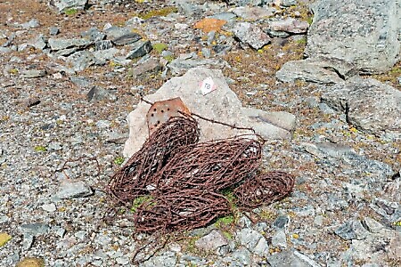
This pass is one of the most significant historical links with France; an ancient Roman road once passed here, and it was the route used to transport the Holy Shroud between Chambery and Turin. Remnants of World War II, including bunkers, small barracks, and barbed wire, are still visible today.
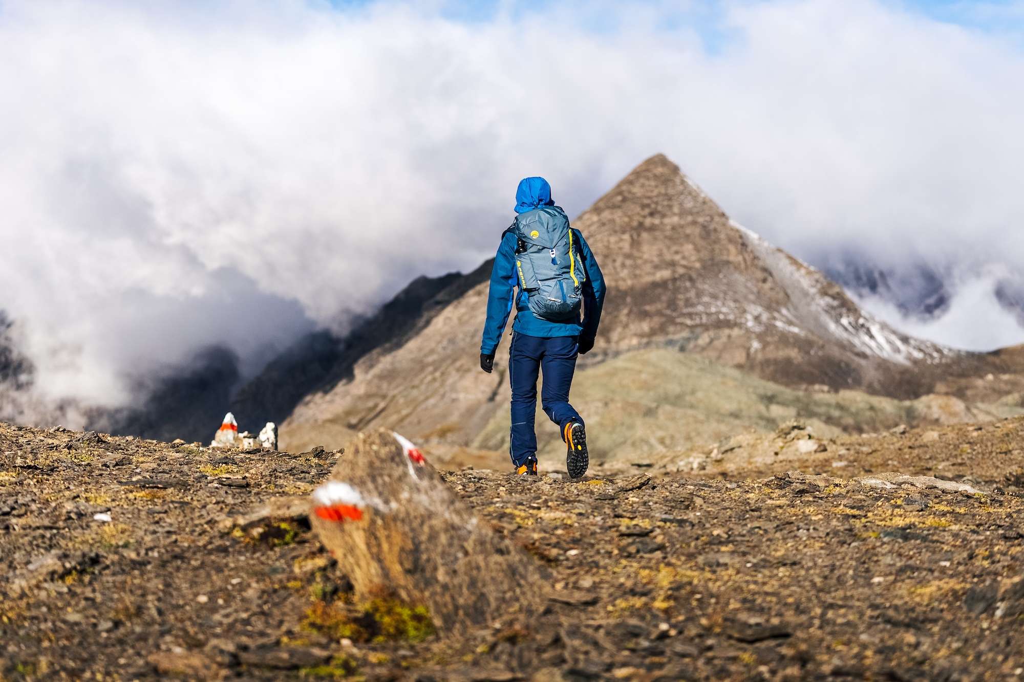
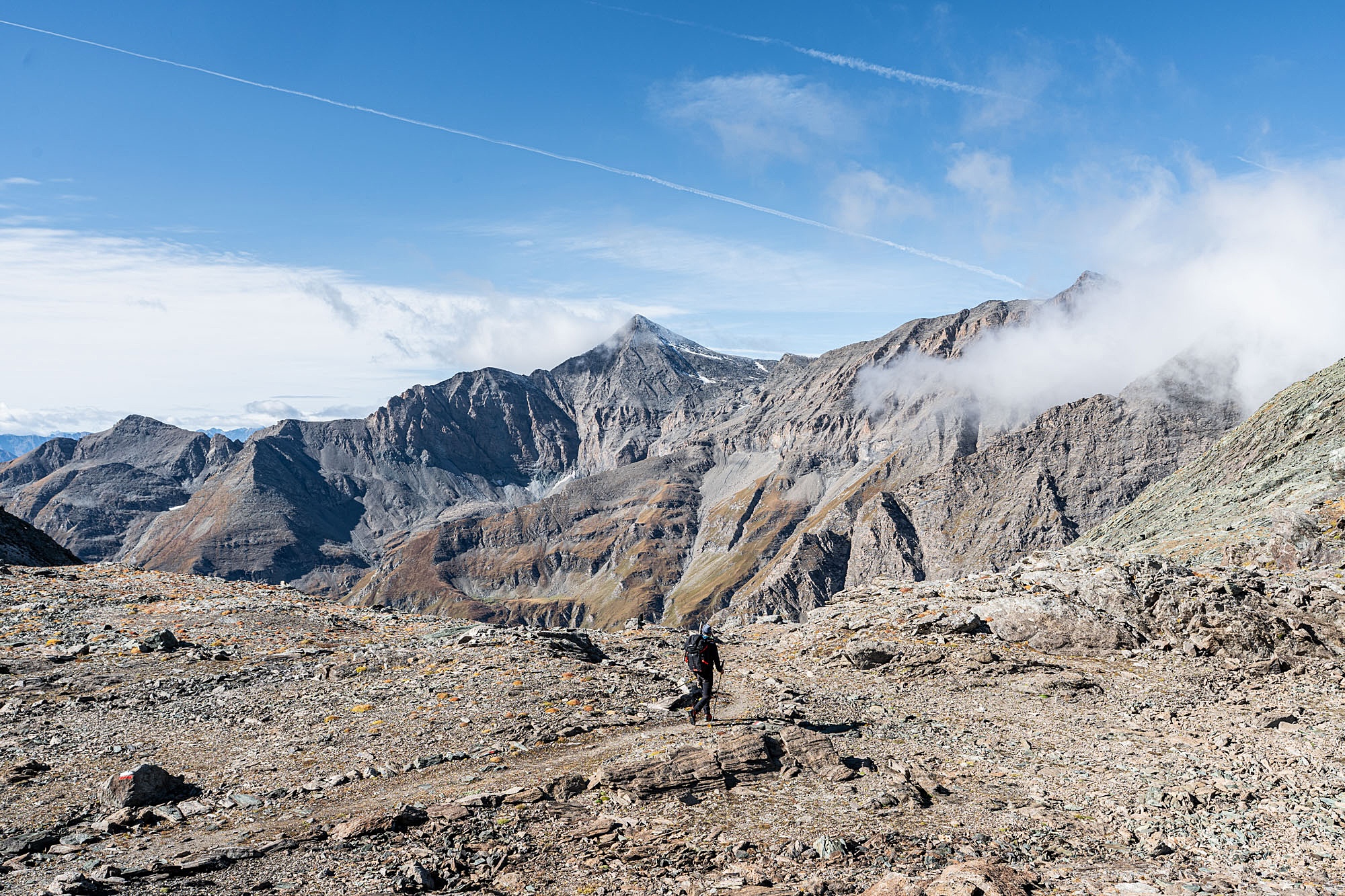
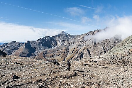
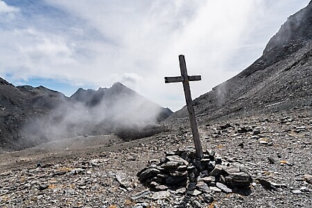
For the return journey, take Trail 116. Traversing southeast along the western shore of the upper lake, descend toward the Malciaussia Valley, offering a splendid panorama of Rocciamelone and the surrounding peaks. After a long stretch along the hillside, climb about 100 meters in elevation to reach Colle Spiol (2,594 m), marked only by a stone cairn. From here, reach a wide, suspended grassy plateau. After crossing a side stream, you reach the stony basin of Pian Sulè (2,528 m), where you must turn right (caution: the turn is not obvious) climbing toward a small saddle.
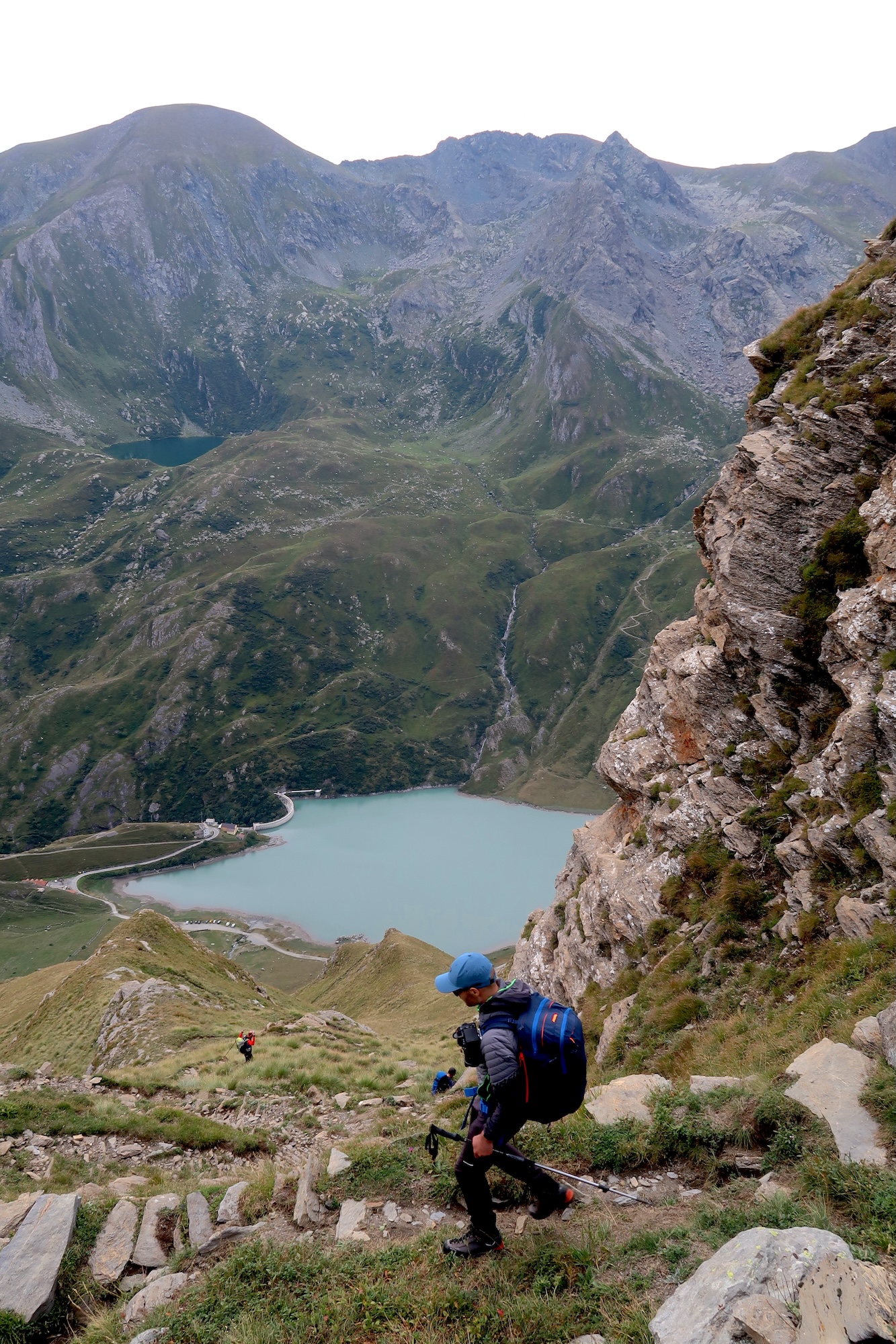
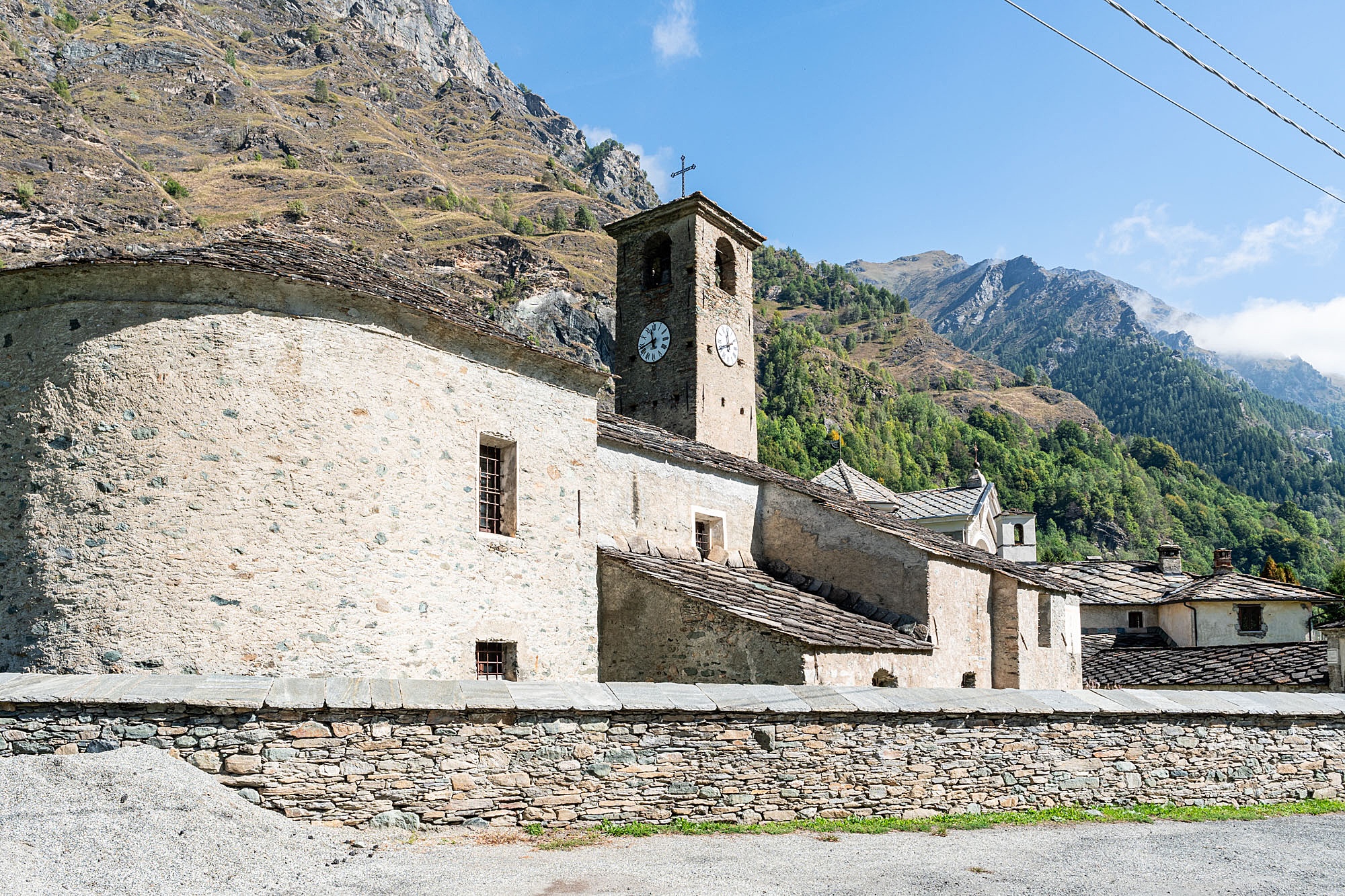
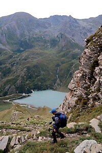
This marks the start of a long, panoramic descent via hairpins—steep and occasionally exposed—toward Lake Malciaussia, which remains visible on the valley floor. Upon reaching the large reservoir of Lake Malciaussia (1,805 m), continue toward the valley bottom following the narrow GTA trail through the valley to the village of Margone and, finally, Usseglio. This final, lengthy section from the lake to Usseglio can potentially be shortened by hitchhiking, as the lake is accessible by a paved road.
VARIANT
If snow still covers the ascent to Colle Sulè or in case of bad weather, the traverse can be shortened by descending to Usseglio via a more direct path with no further elevation gain. From the refuge, follow Trail 118, which traverses the entire Arnas Valley at high altitude before descending to the village of Margone, from where Usseglio is reached by road.
Download the full itinerary in PDF
Report a problem
Did you encounter a problem on this itinerary? Let us know and help us keep all routes safe and accessible for everyone.
Submit report 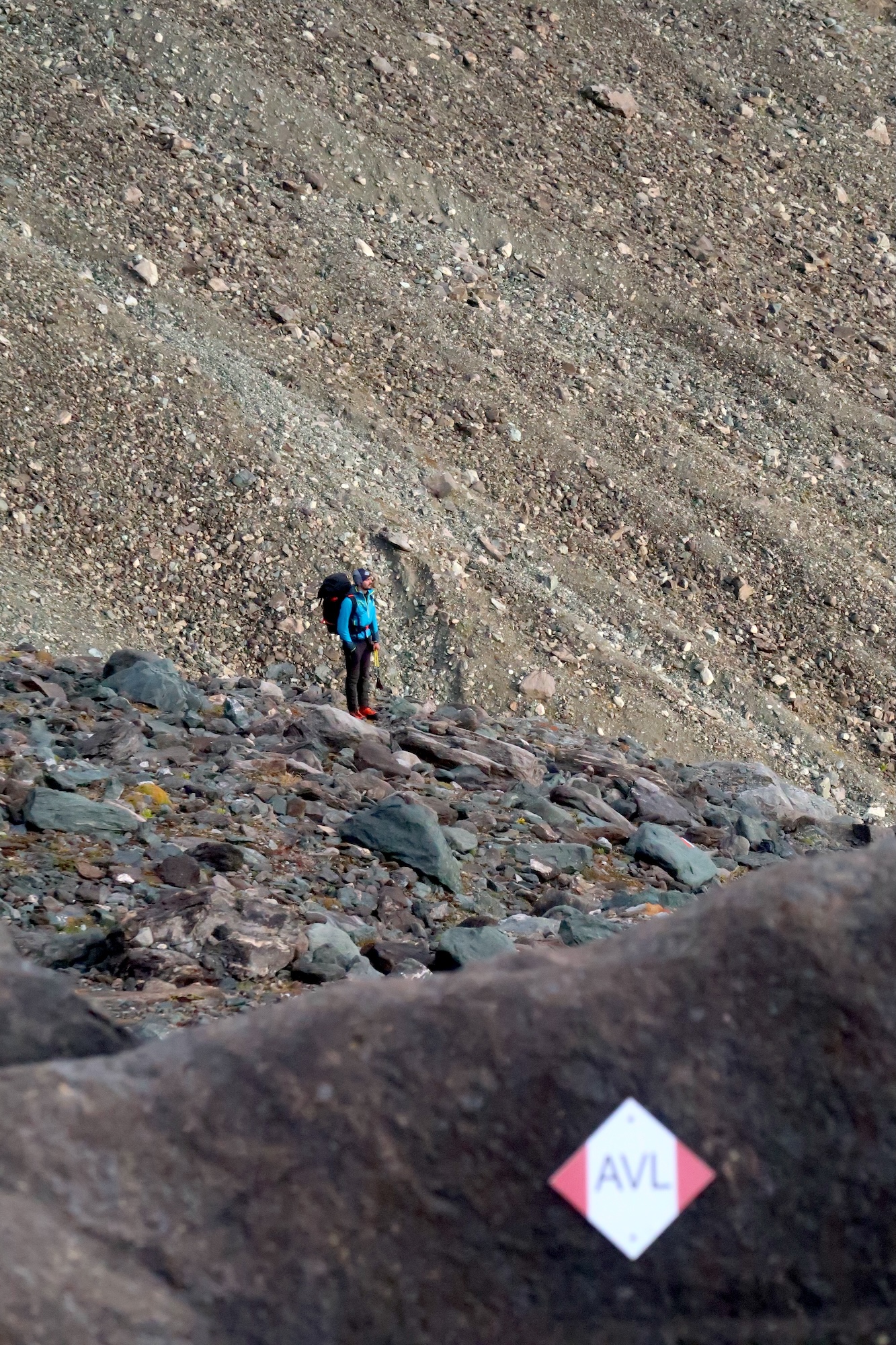
Nearby
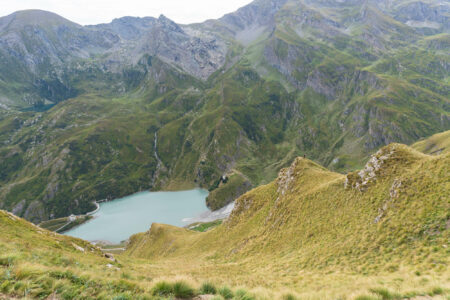
Cibrario Refuge to Lake Malciaussia via the Colle Autaret
UsseglioA stunning traverse from the Cibrario Refuge that crosses three high-altitude passes, two of them above 3,000 metres: the Colle Sulè, the Autaret, and the Spiol. The first part of the route follows the Tour della Bessanese, with breathtaking views of the imposing and severe surrounding peaks, before descending towards…
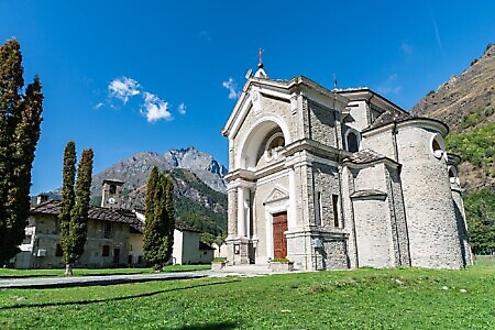
Lanzo Crossing 8 – In the footsteps of the Holy Shroud
UsseglioThe eighth stage leads from Usseglio to Viù. A long and evocative stage that leads from the upper Val di Viù to the valley’s main town. The route winds through beech forests, crosses mountain streams, and passes through traditional Alpine hamlets. Part of the trek follows the "Percorsi Sindonici" (Shroud…

Luigi Cibrario Refuge at Peraciaval
UsseglioThe Cibrario Refuge is a historic building that has been extended several times over the years. It sits on the beautiful Pian Sabiunin plateau, at the foot of towering peaks that rise well above 3,000 metres. A key stopping point on the Tour della Bessanese and for the ascent of…
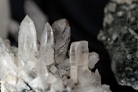
Ecomuseum of Minerals and Local History
Via Rocciamelone 5, Margone (Usseglio)The ecomuseum was born from the passion for mineralogy shared by a group of volunteers and friends, driven by the...
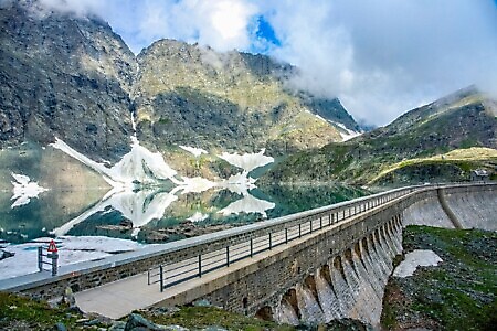
Lago della Rossa
Lago della Rossa (Usseglio)Lago della Rossa is an artificial lake, as it is blocked by a high dam, and it is the largest...
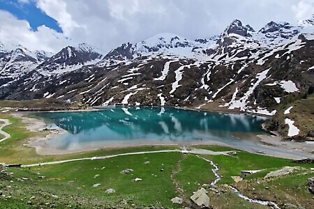
Lago di Malciaussia and Lago Nero
Località Malciaussia (Usseglio)Lago di Malciaussia is an artificial lake created with the construction of the dam between the late 1920s and early...
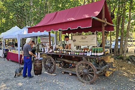
30th Natural Products and Traditional Crafts Fair of the Valleys
UsseglioOn 14/08/2026
A 30-year-long story. On 13 August 2026, the Natural Products and Traditional Crafts Fair of the Valleys returns to Usseglio...