
Overview
The eighth stage leads from Usseglio to Viù.
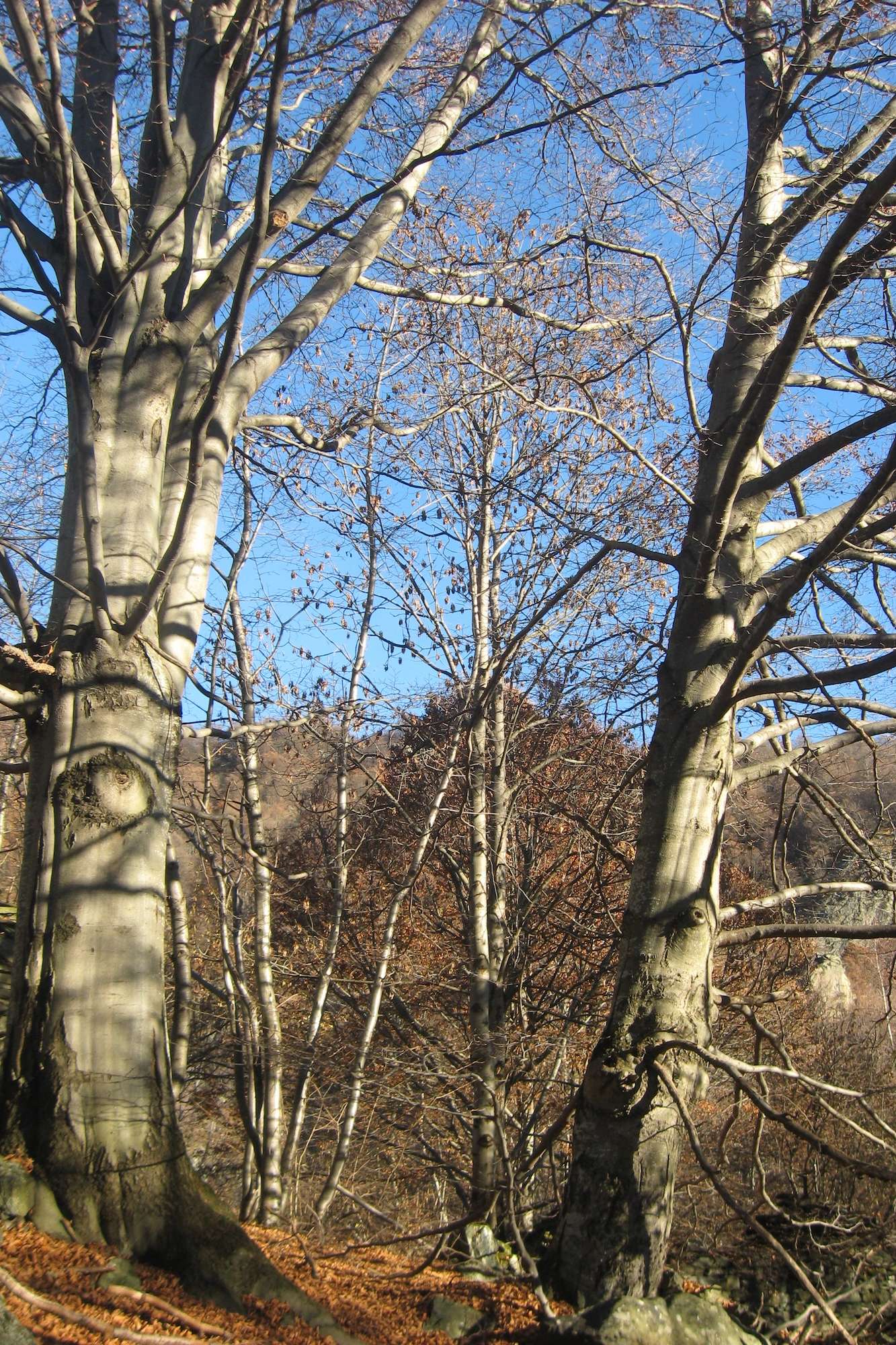
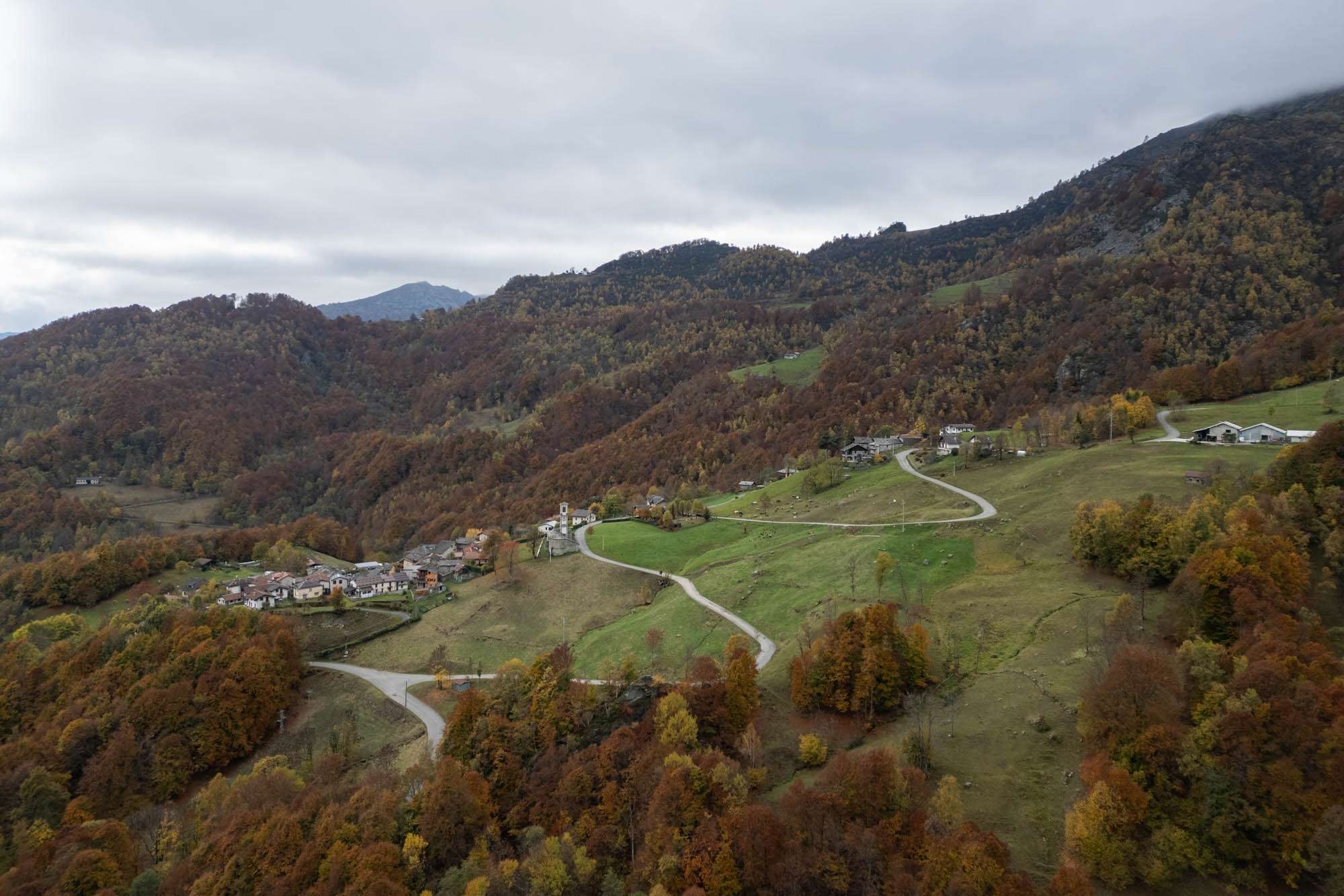
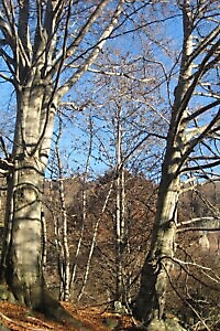
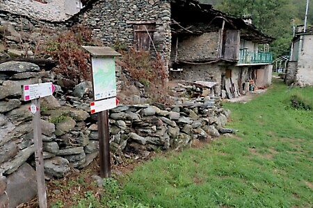
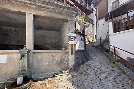
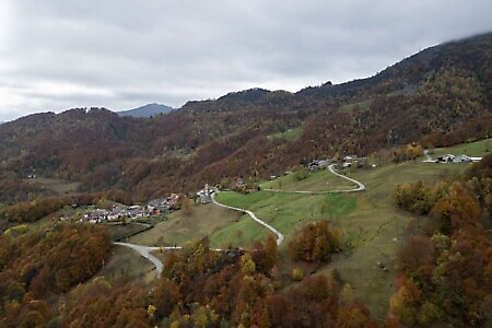
A long and evocative stage that leads from the upper Val di Viù to the valley’s main town. The route winds through beech forests, crosses mountain streams, and passes through traditional Alpine hamlets. Part of the trek follows the "Percorsi Sindonici" (Shroud Paths), touching upon some of the most significant spiritual sites in the valley.
Starting point
DirectionsFrom the village of Usseglio, follow the GTA markings briefly before leaving them at the edge of town to join the Percorsi Sindonici (PS) itinerary. Pass through the hamlet of Pianetto and traverse the entire plateau along its orographic left bank.
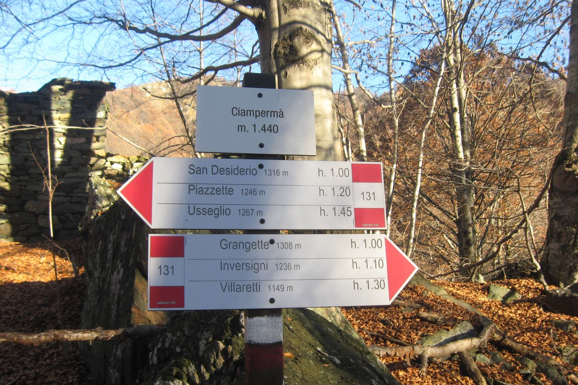
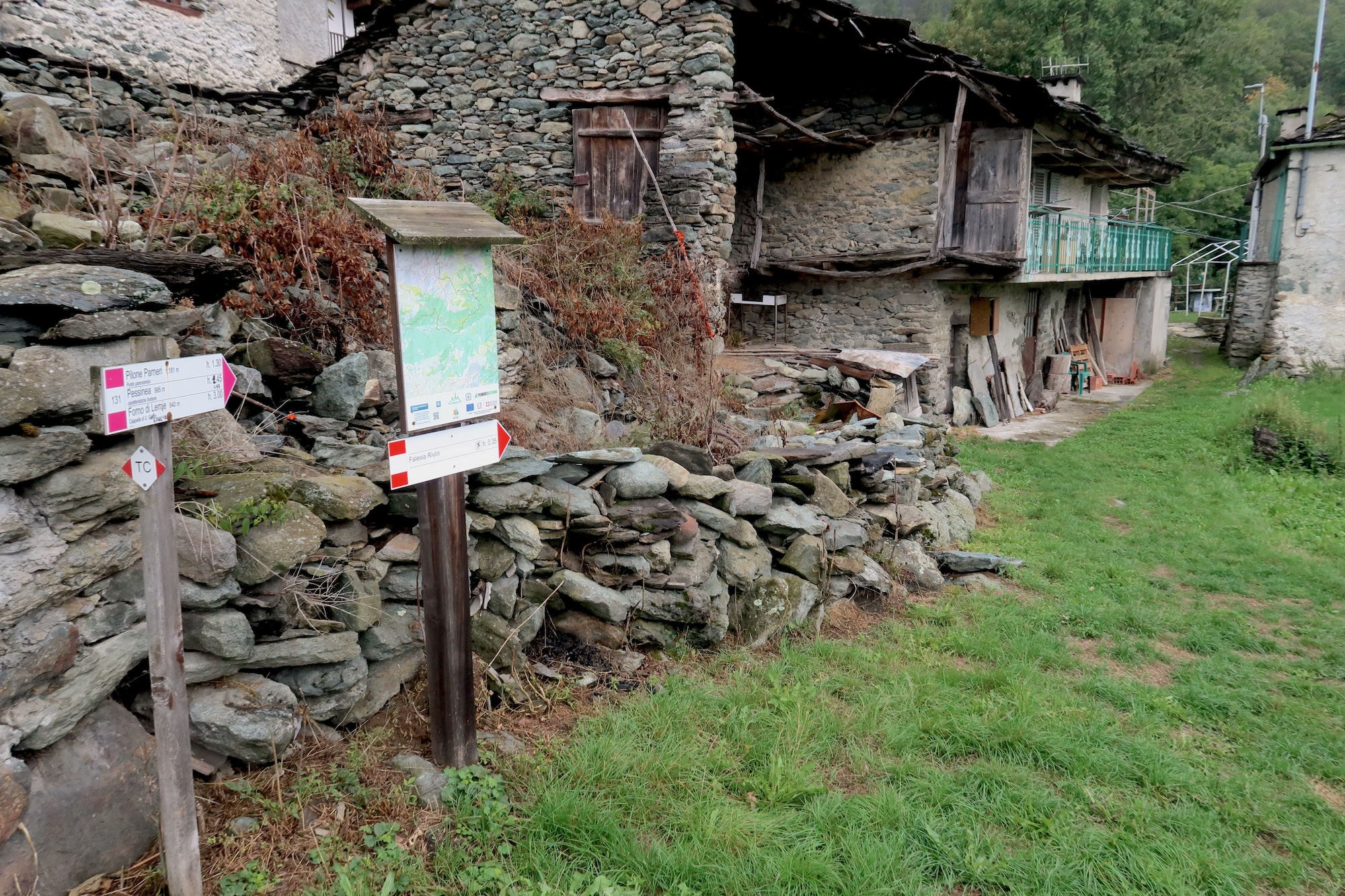
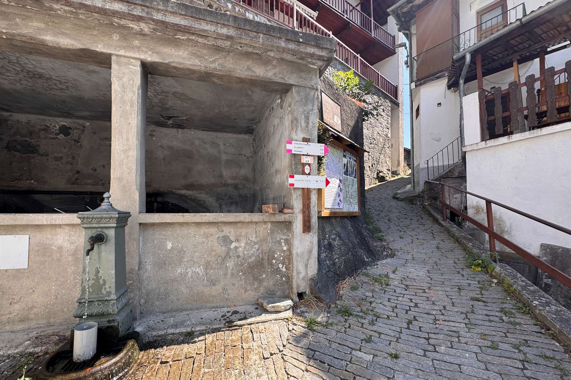
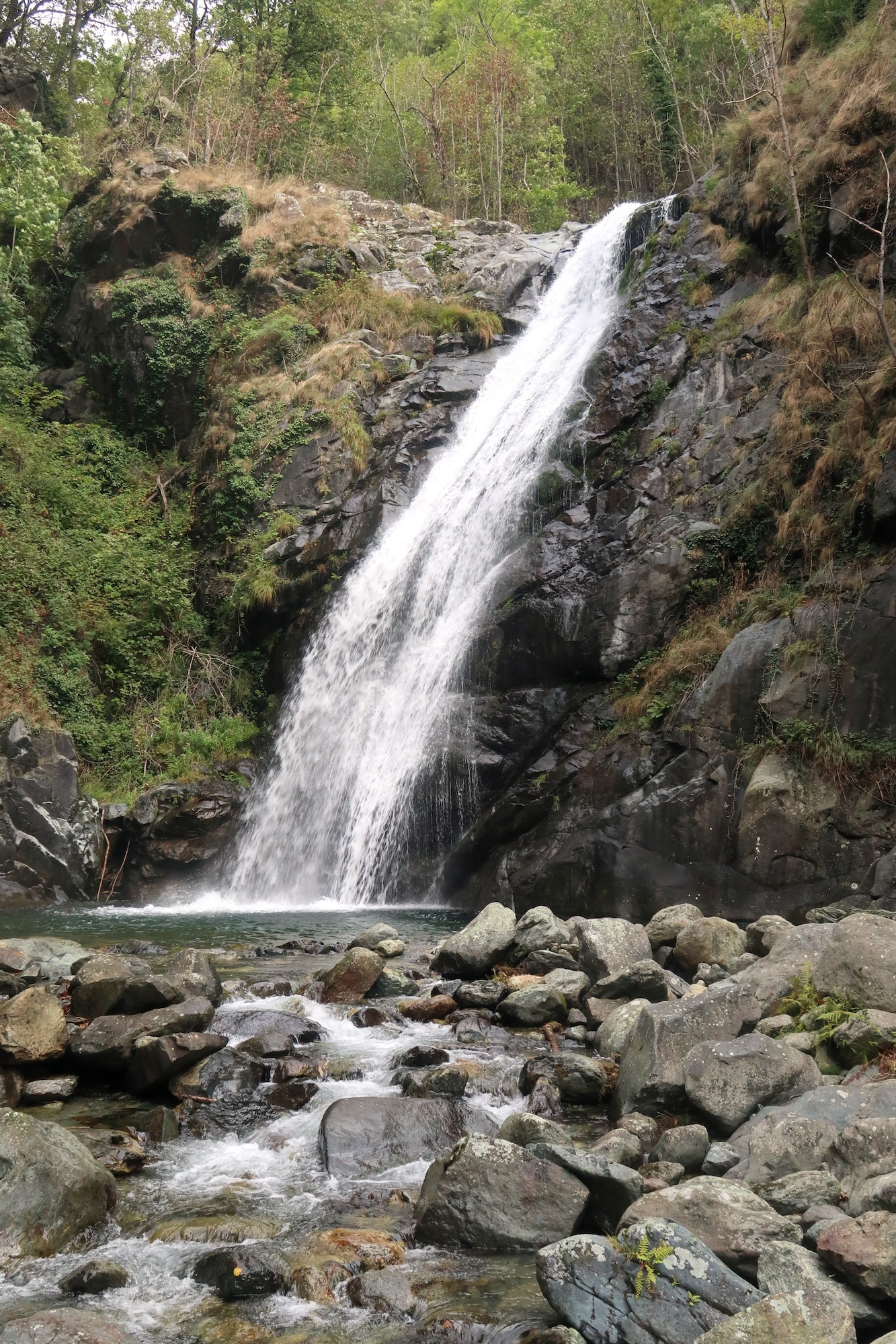
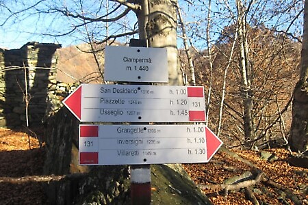
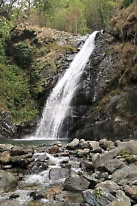
Just before reaching the hamlet of Piazzette, leave the PS trail to the right and continue leftward (marked 131 TC, Tour del Calcante), gaining about 200 meters in elevation. Passing below the slopes of Monte Tumolera, you reach the hamlet of Ciampermà and eventually enter the Vallone d’Ovarda at the village of Villaretti (1,149 m). From here, descend towards Lemie, making sure to take a short detour to admire the beautiful Ovarda waterfall.
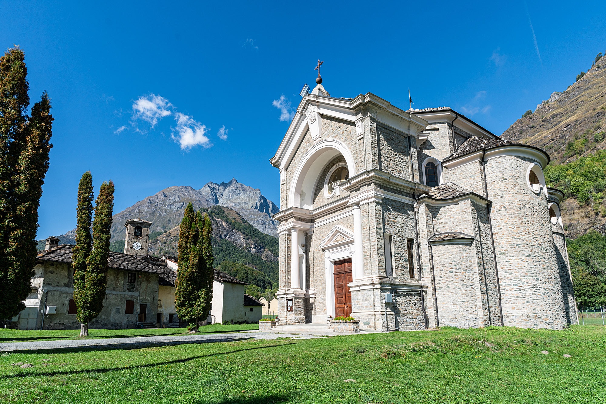
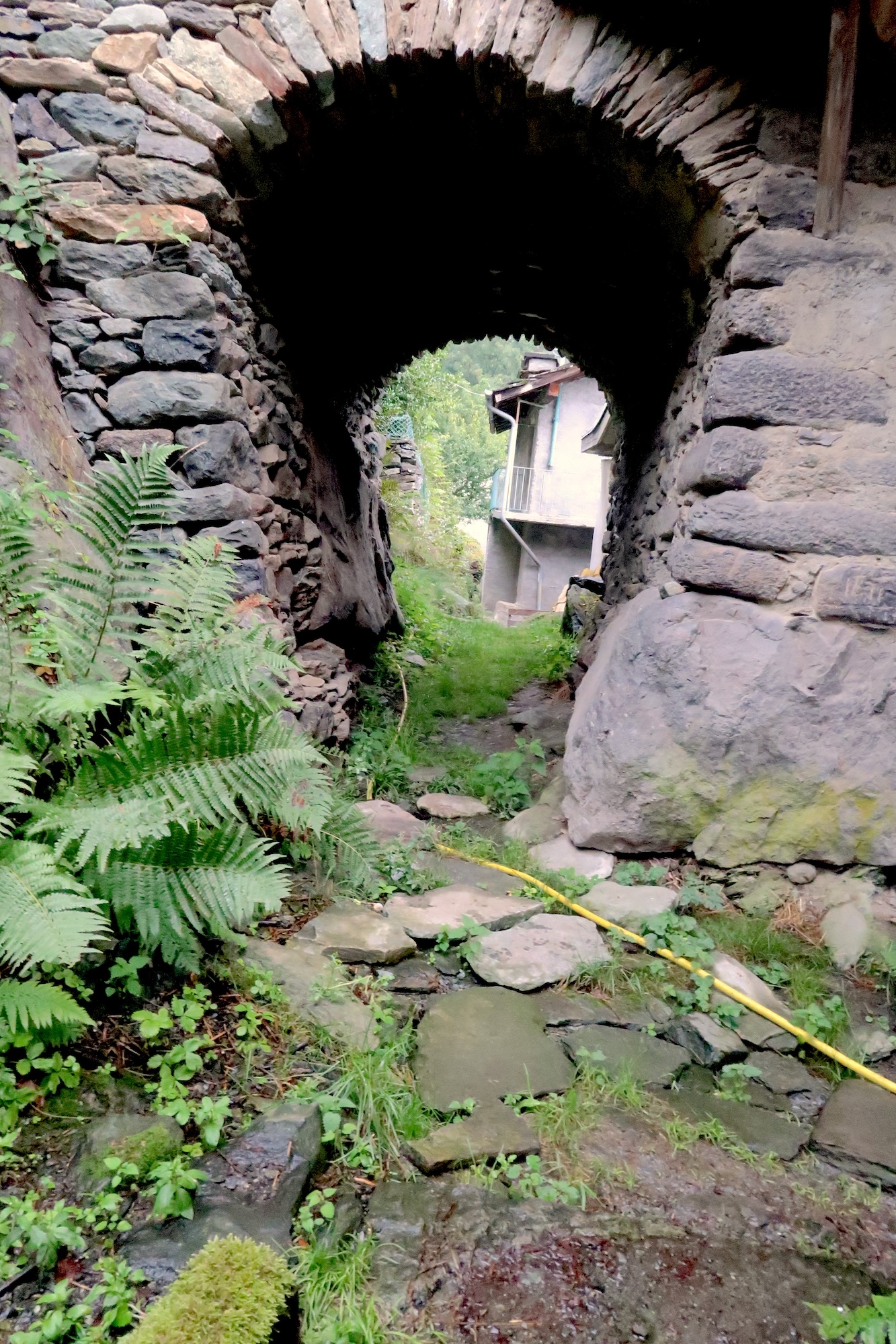
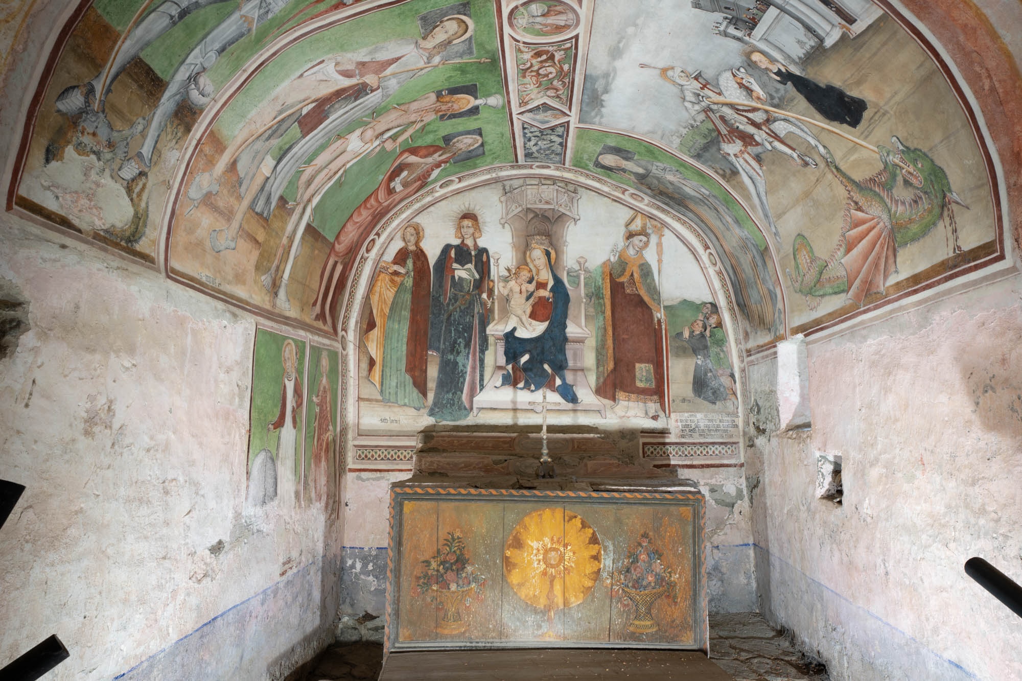
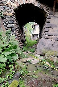
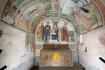
From Lemie, descend towards the Stura river and cross to its orographic right bank. Follow the PS markings as a reference towards Forno di Lemie and Viù. Continue descending until you reach the village of Villa, followed closely by Forno di Lemie, home to the striking Chapel of San Giulio and a historic medieval bridge.
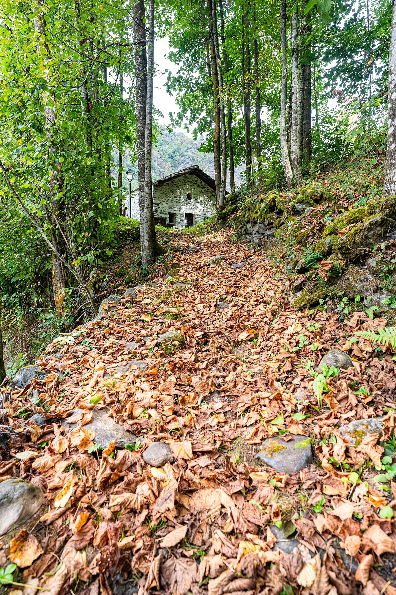
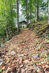
After crossing the Forno bridge, climb through a lush forest on the orographic left slope towards the hamlet of Pessinea. From here, an enjoyable and largely level path leads to the village of Balma and the characteristic settlement of Tornetti. Finally, follow the trail flanking the Rio della Viana for a long descent that brings you into the heart of Viù.
Download the full itinerary in PDF
Report a problem
Did you encounter a problem on this itinerary? Let us know and help us keep all routes safe and accessible for everyone.
Submit report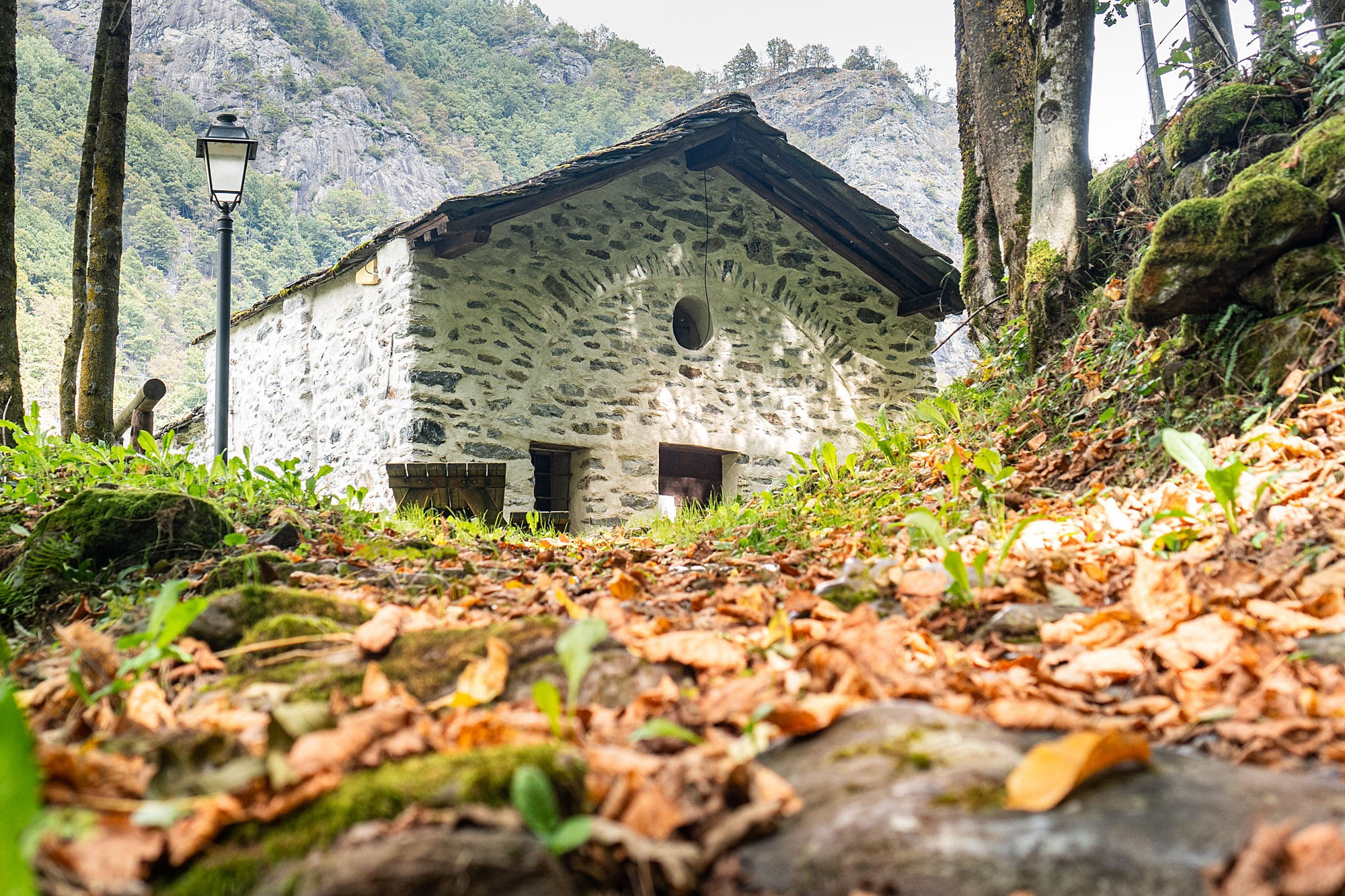
Nearby
Cibrario Refuge to Lake Malciaussia via the Colle Autaret
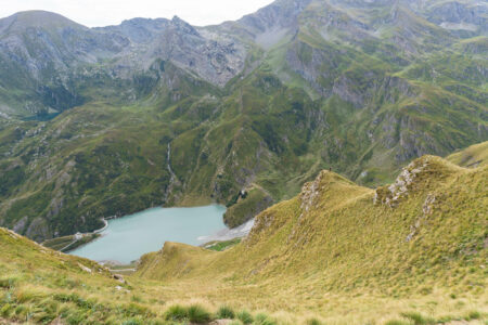
UsseglioA stunning traverse from the Cibrario Refuge that crosses three high-altitude passes, two of them above 3,000 metres: the Colle Sulè, the Autaret, and the Spiol. The first part of the route follows the Tour della Bessanese, with breathtaking views of the imposing and severe surrounding peaks, before descending towards…
Lanzo Crossing 7 – Through mountain passes and ancient Roman roads
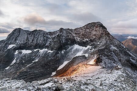
UsseglioThe seventh stage leads from Rifugio Cibrario to Usseglio. A spectacular high-altitude stage that links several mountain passes to reach the Colle dell'Autaret and the scenic Malciaussia basin, before returning to Usseglio. While the itinerary presents no technical challenges, it should not be underestimated due to its significant length and…

Luigi Cibrario Refuge at Peraciaval
UsseglioThe Cibrario Refuge is a historic building that has been extended several times over the years. It sits on the beautiful Pian Sabiunin plateau, at the foot of towering peaks that rise well above 3,000 metres. A key stopping point on the Tour della Bessanese and for the ascent of…
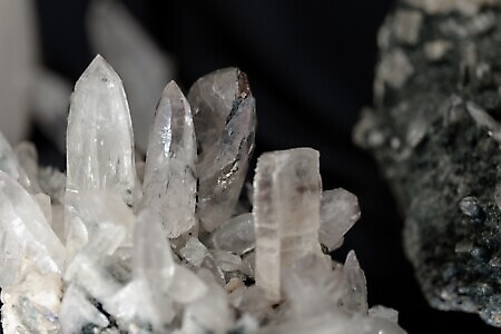
Ecomuseum of Minerals and Local History
Via Rocciamelone 5, Margone (Usseglio)The ecomuseum was born from the passion for mineralogy shared by a group of volunteers and friends, driven by the...
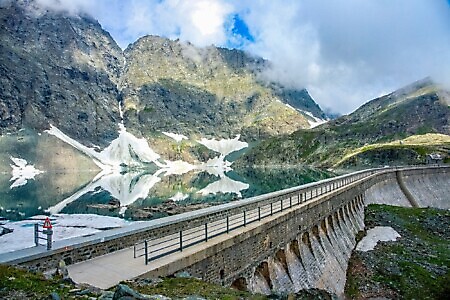
Lago della Rossa
Lago della Rossa (Usseglio)Lago della Rossa is an artificial lake, as it is blocked by a high dam, and it is the largest...
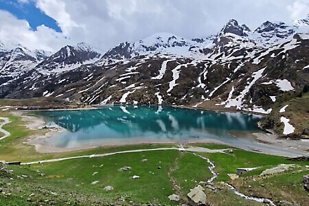
Lago di Malciaussia and Lago Nero
Località Malciaussia (Usseglio)Lago di Malciaussia is an artificial lake created with the construction of the dam between the late 1920s and early...
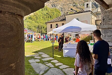
5th Mountain Honey and Undergrowth Fruit Festival
UsseglioOn 06/09/2026
The fifth edition of the event will take place on Sunday 6 September, featuring local products, music and Alpine tradition...