
Overview
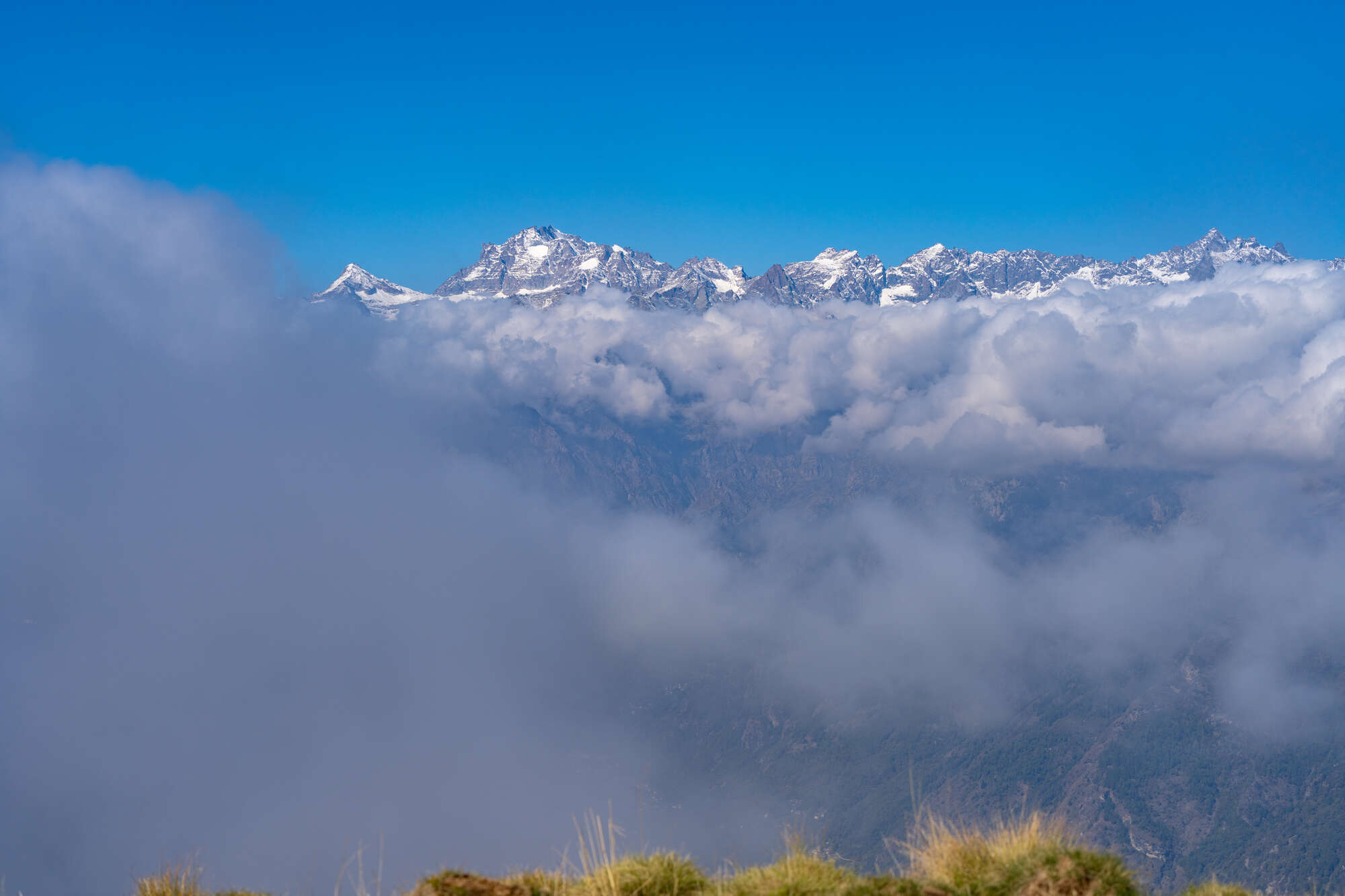
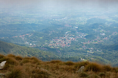
Mount Soglio is the first major peak along the long watershed ridge that separates the Orco valley (to the north) from the Malone, Tesso, and Grande di Lanzo valleys (to the south). Its rounded summit is a remarkable panoramic viewpoint looking toward the Gran Paradiso group, the peaks of the Lanzo Valleys, the plain, and the Canavese. The mountain lies at the point where the municipalities of Corio, Forno Canavese, Pratiglione, and Sparone meet, their territories converging on its summit, which can be reached via several different routes. The one described below follows, for the ascent, a section of the Gir Lung of the Trail del Mount Soglio, a trail running competition held every year toward the end of spring, before descending via the most popular route. A loop that's demanding in length and elevation gain but without technical difficulties, impeccably marked by the Sentieri Val Malone association.
Starting point
DirectionsHead back a short way downhill past the Chapel of the Beata Vergine Consolata, then turn left onto a paved uphill lane at its side (signpost). After about two hundred meters, at a crossroads (signpost), turn left again toward case Andrè, which you’ll approach from below.
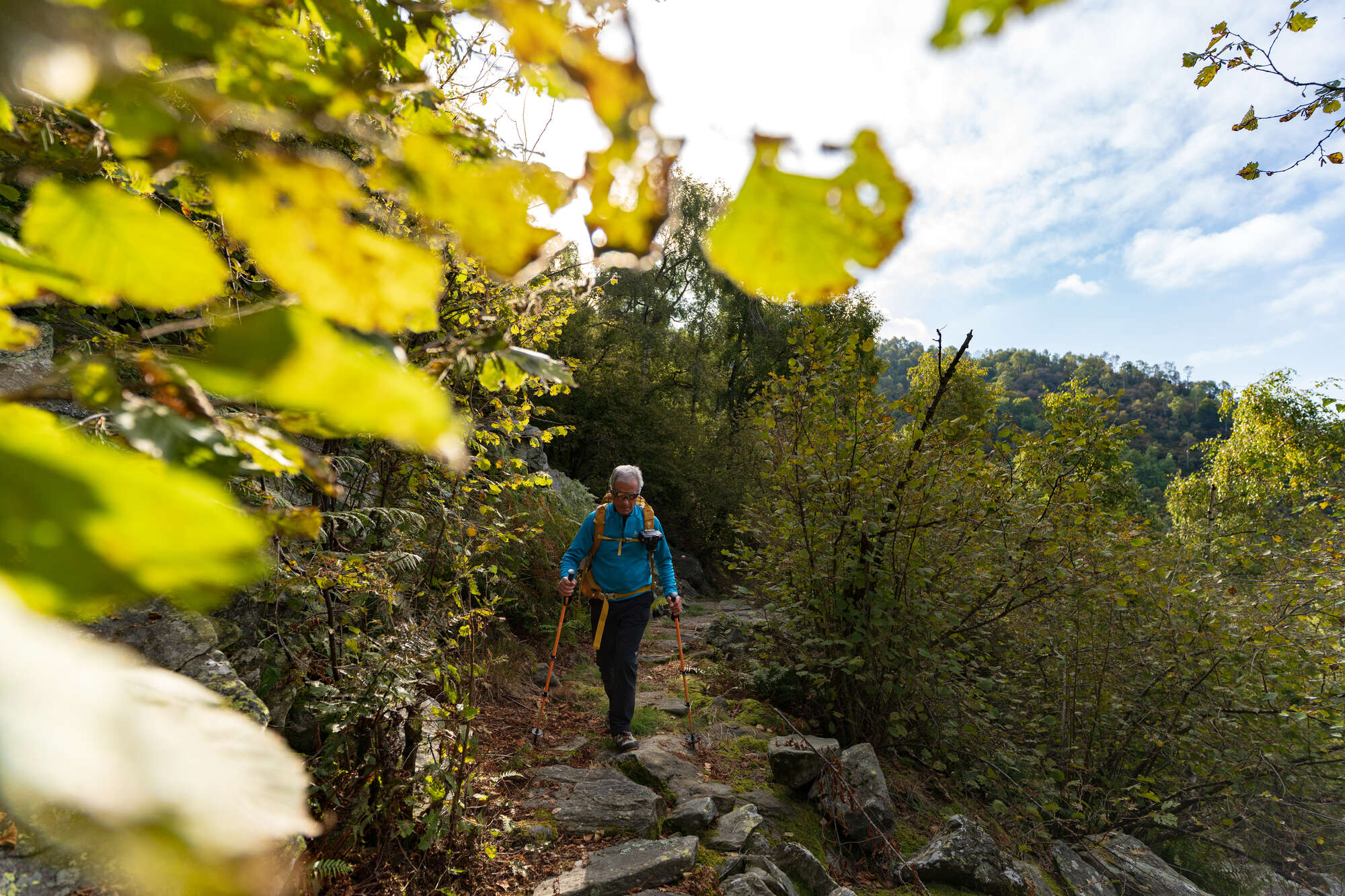
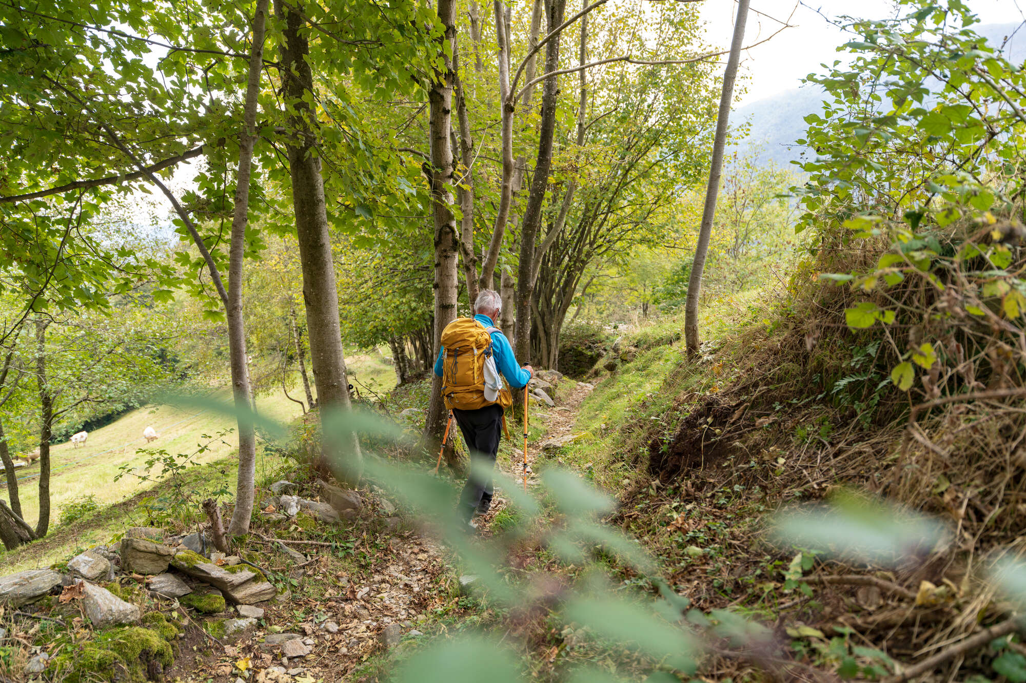
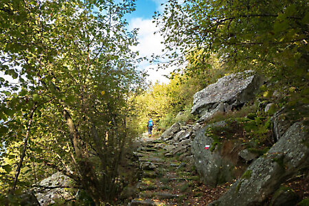
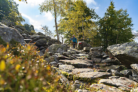
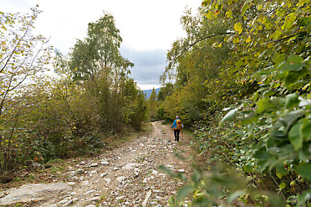
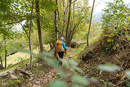
Where the road forks (signpost), keep left, continuing on asphalt through the houses in the upper part of the hamlet. Near a fountain, take a flight of steps on the left that soon becomes a faint but well-marked path (white-red trail markers) entering a shady beech wood. The route crosses a clearing, climbs toward some ruins, crosses a boggy area, and passes a small stream. The climb continues steeply with numerous switchbacks through mixed woodland.
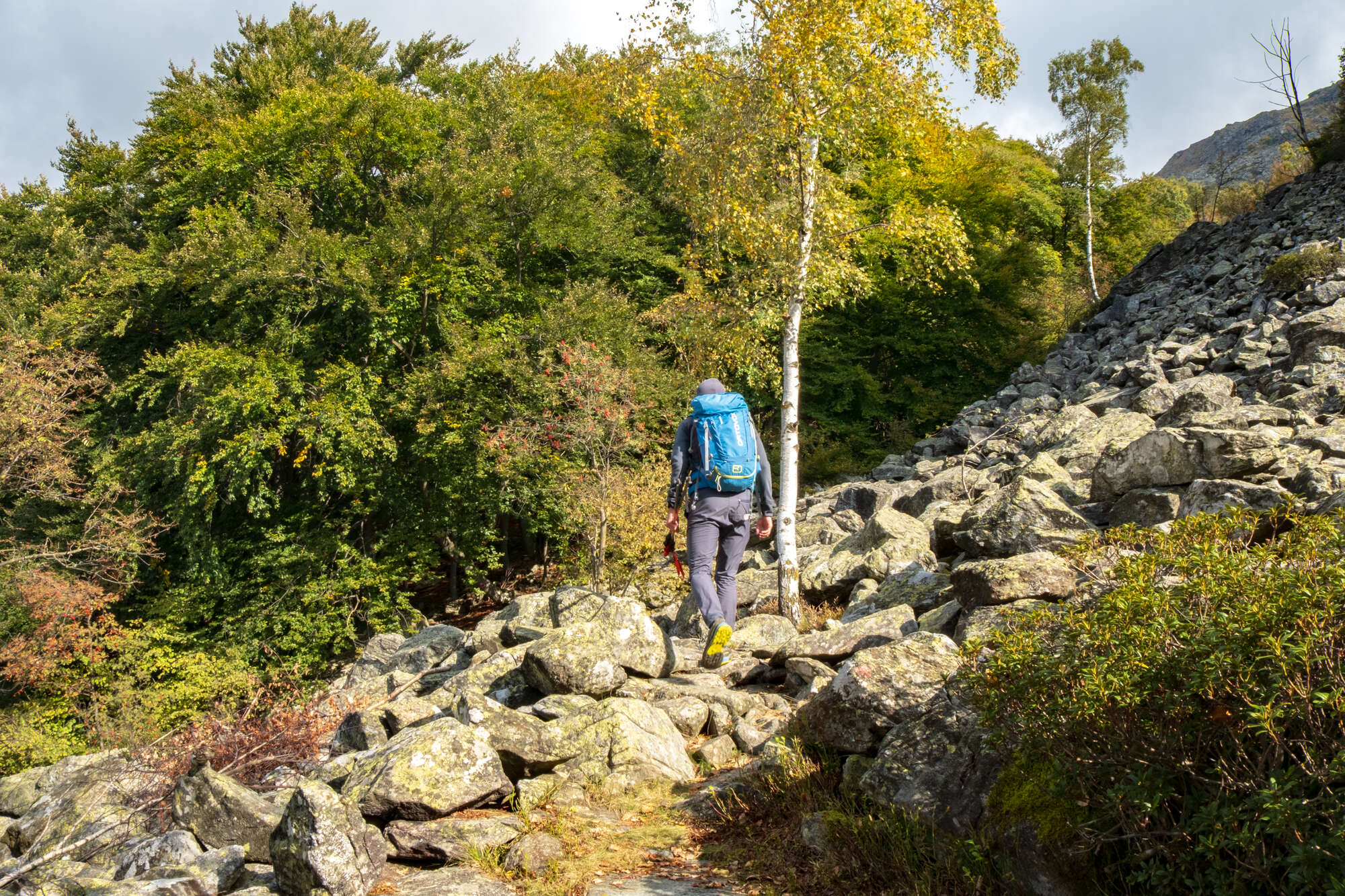
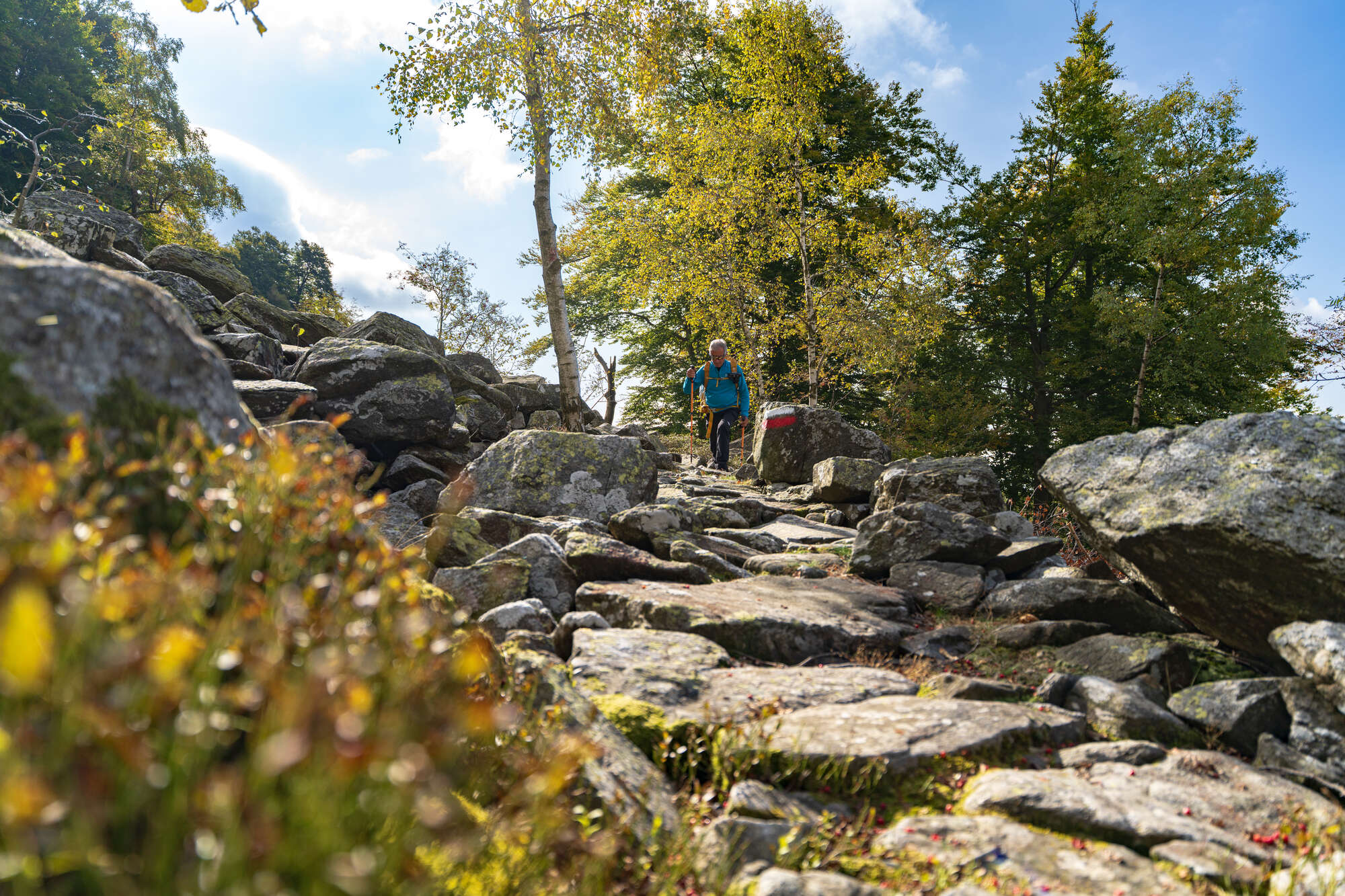
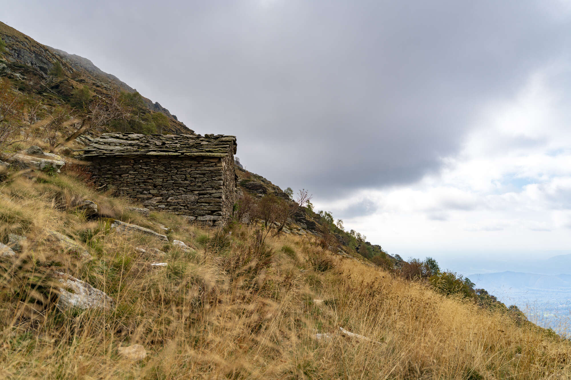
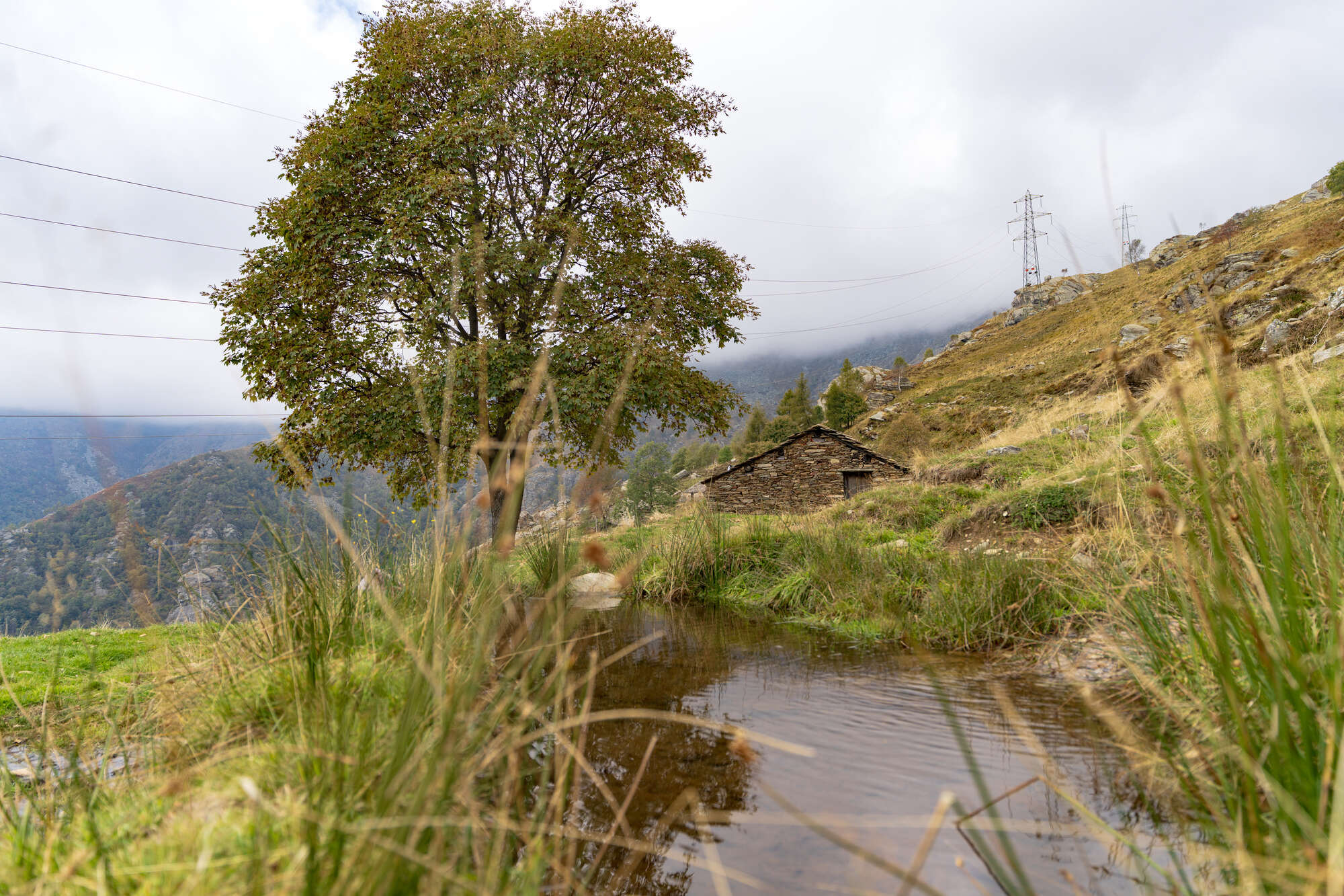
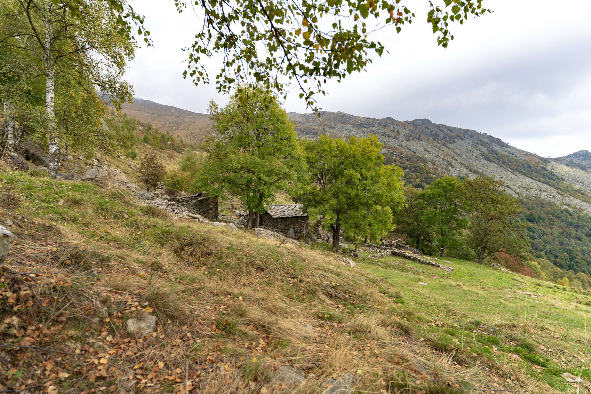
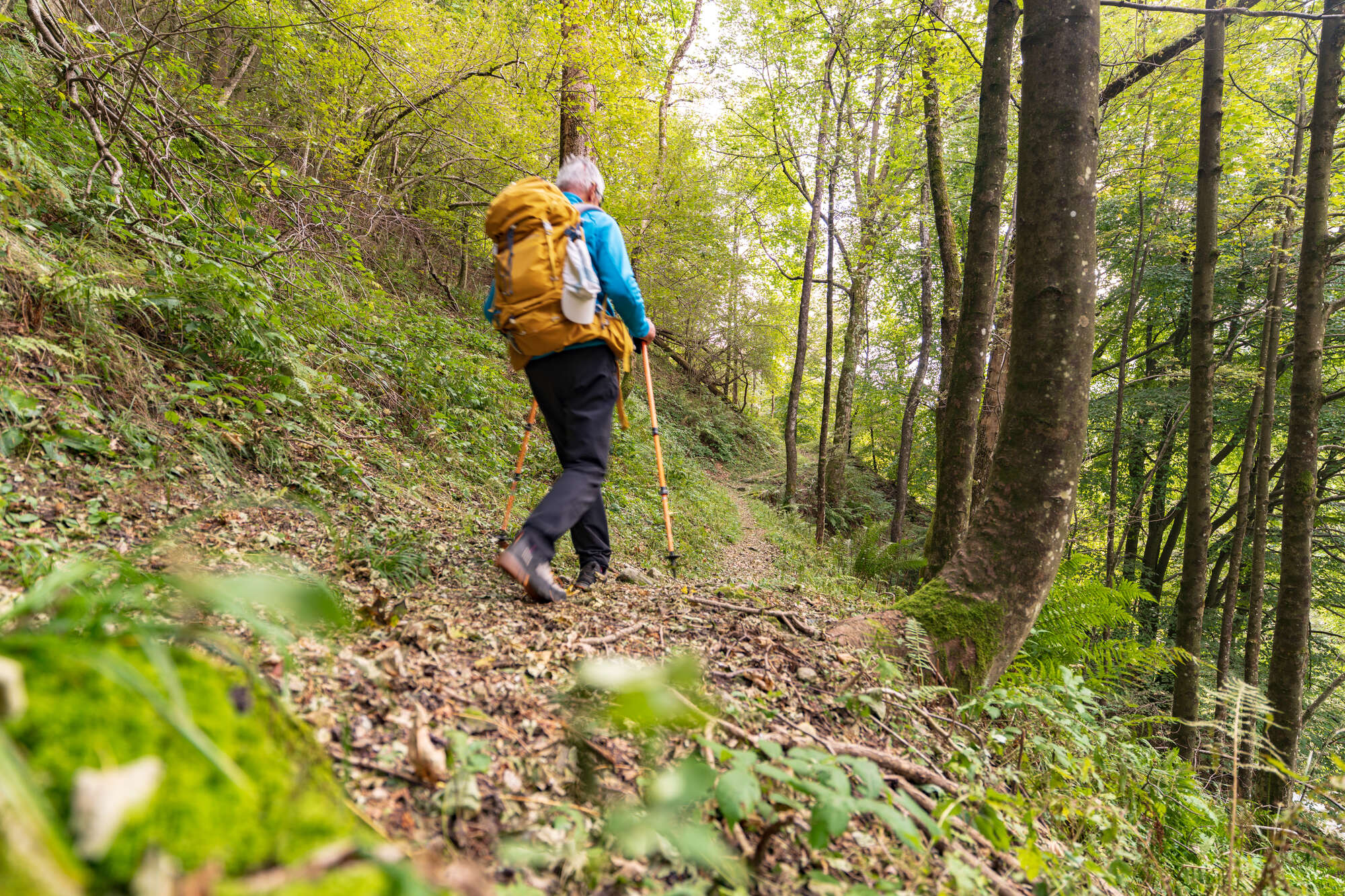
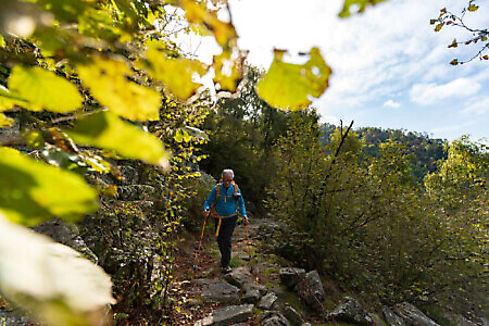
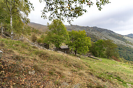
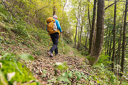
Having gained two hundred meters of elevation, you reach the mulattiera del Redio (Redio mule track), named after the family who built it to reach their alpine pastures. Following it to the left, you traverse a long ascending contour path that cuts across the slopes of Rocca Perabianca, alternating between beech woods, mixed forest, scree slopes crossed by perfectly paved stretches, and old alpine pastures now reduced to ruins. In sequence you’ll come across alpe Losera (1,200 m), alpe delle Secchie, and alpe Grifun. It’s a pleasant stretch, though without views since it runs entirely through the woods.
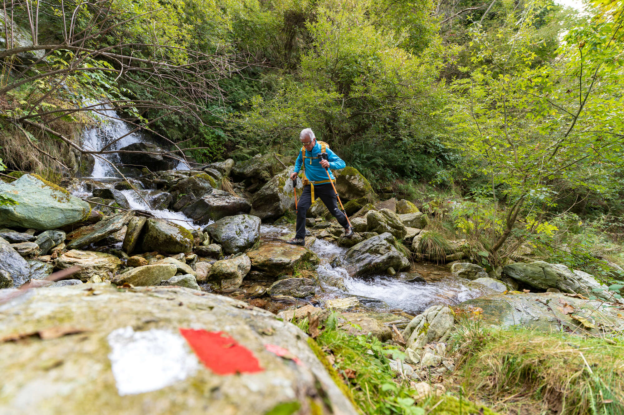
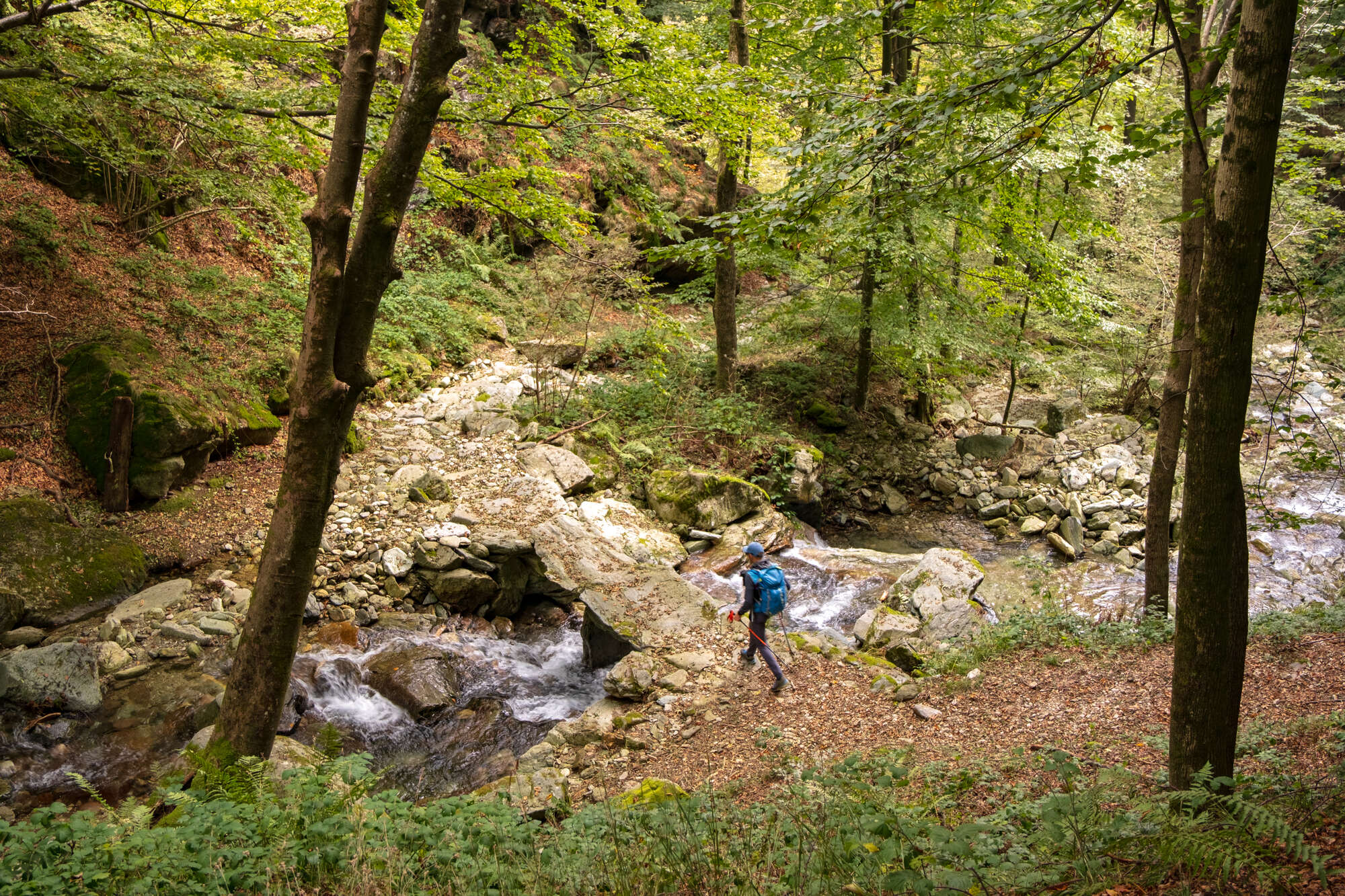
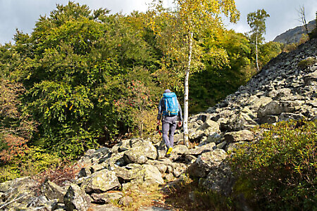
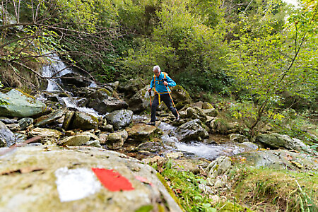
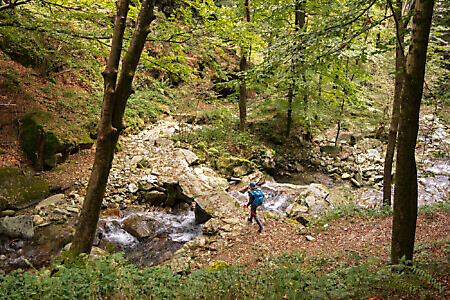
After alpe Grifun, the path begins to descend, losing about a hundred meters of elevation. Once it reaches the lowest point, it continues up and down, crosses yet another scree slope, and climbs again among the beeches. At a fork, turn right (trail markers), cross more beech and mixed woods, then proceed along a contour path high above a stream, a tributary of the Malone, which you then ford (this crossing may be difficult during periods of high water).
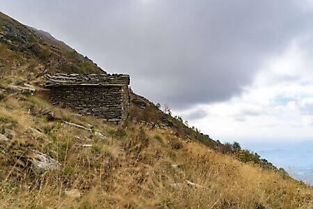
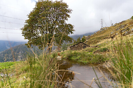
The path climbs steeply again through the woods. Suddenly, near some ruins, the forest thins out, giving way to broad pastures, unsurprisingly home to alpine huts, which in spring burst into stunning blooms of crocuses, daffodils, gentians, anemones, and rhododendrons.
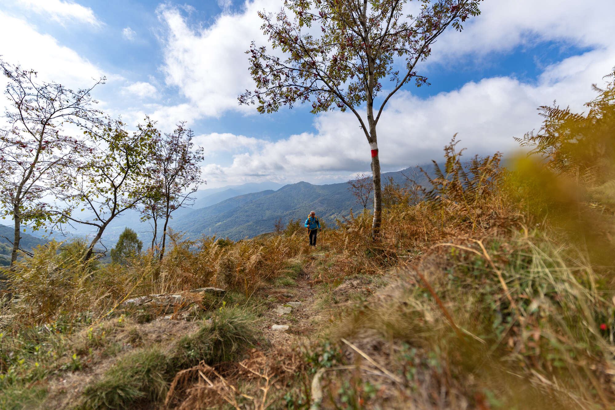
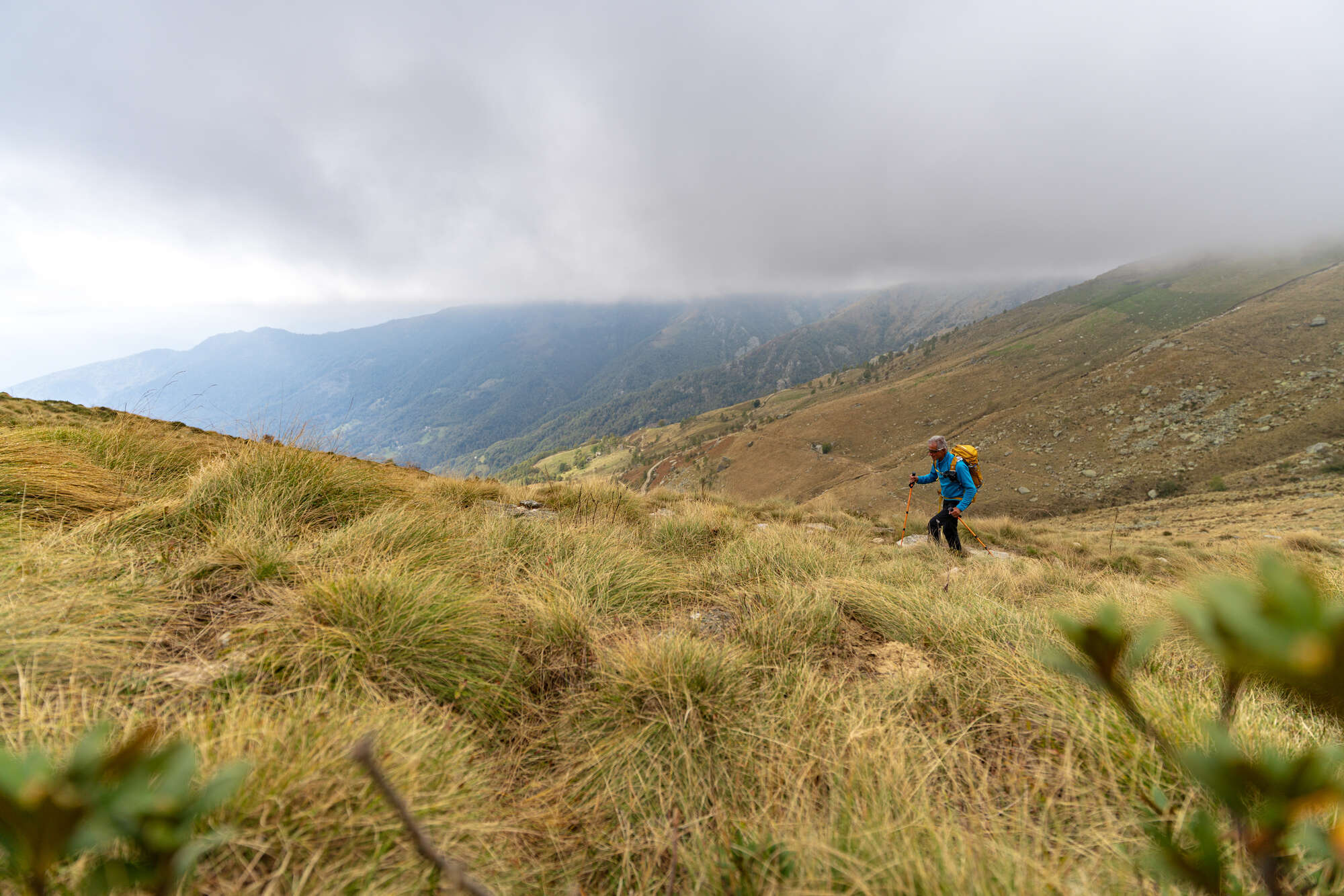
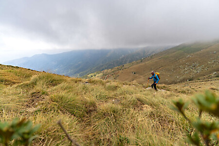
Climb the grassy slope, turning left at the first fork and shortly after right onto a path that climbs first among scattered rowan trees and ferns, then along a contour through scattered birches. After crossing the Malone tributary once more, continue with endless switchbacks skirting alpe Moité (1,515 m). Much higher up, at a fork (1,655 m), bear right to reach the nearby ridge and pian del Bensi (1,678 m), which opens up to broad views over the Canavese and val Gallenca.
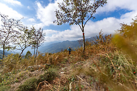
Turning left, climb the broad ridge over grass and rocks (cairns), with good views on both sides. After joining a path coming from the right, make one last push to reach the huts and ruins of alpe Rossolo (1,937 m).
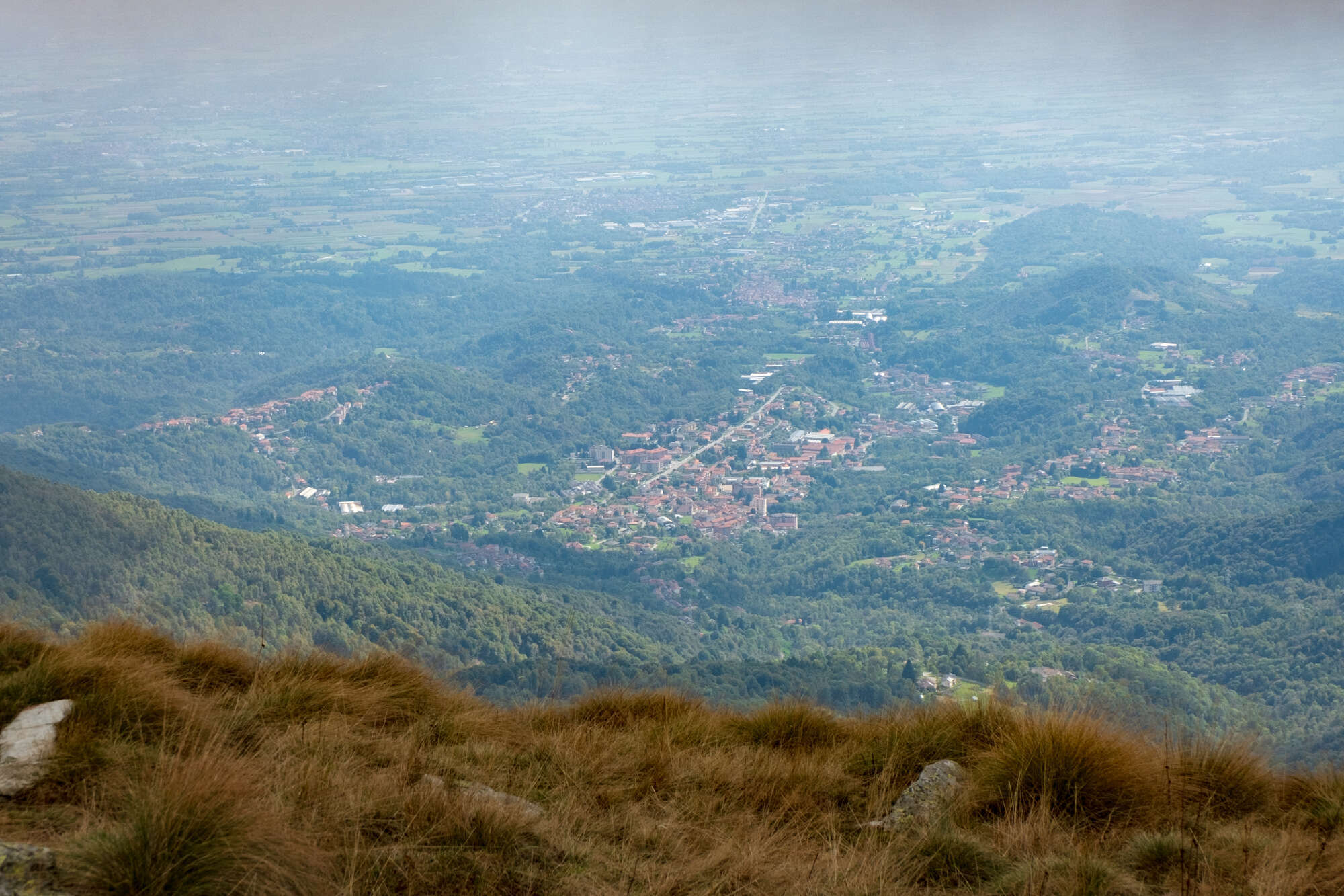
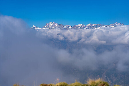
Turning right, among the numerous cattle tracks, follow those that climb straight up the easy grassy slope along the line of steepest ascent to the top of mount Soglio (1,969 m), topped by a small statue of the Madonna and an orientation table indicating the main surrounding peaks. It is indeed an exceptional panoramic spot, looking out over the entrance to the Orco valley, the Gran Paradiso massif, and the mountains of the Aosta Valley. But the view stretches much further, taking in the Canavese, the mountains of the Lanzo Valleys, Monviso, and reaching all the way to the Maritime Alps and the Ligurian Apennines.
During the Resistance, the slopes of mount Soglio were the scene of fierce clashes between partisans and Nazi-fascist forces. In particular, in early December 1943, one of the most significant battles took place at Forno Canavese, followed by the first tragic Nazi-fascist massacre in the province of Turin, in which 18 partisans and prisoners were shot.
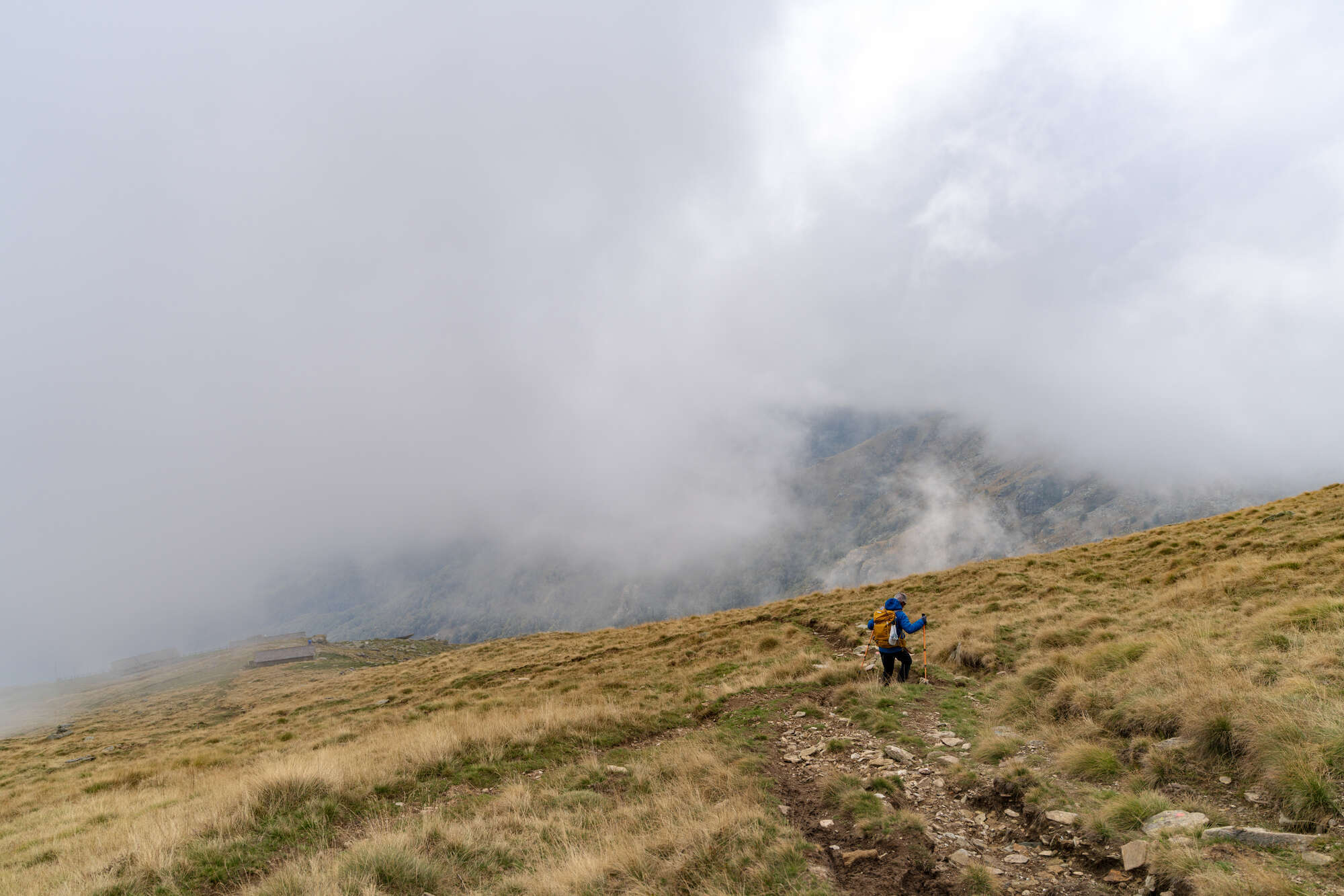
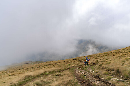
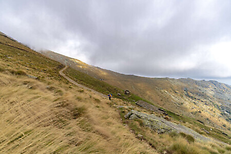
Go back down to alpe Rossolo and continue straight along the broad, gently sloping grassy ridge, following the clear grooves in the ground. The path, still very scenic, shifts to the right-hand side to skirt a knoll, then reaches a small saddle.
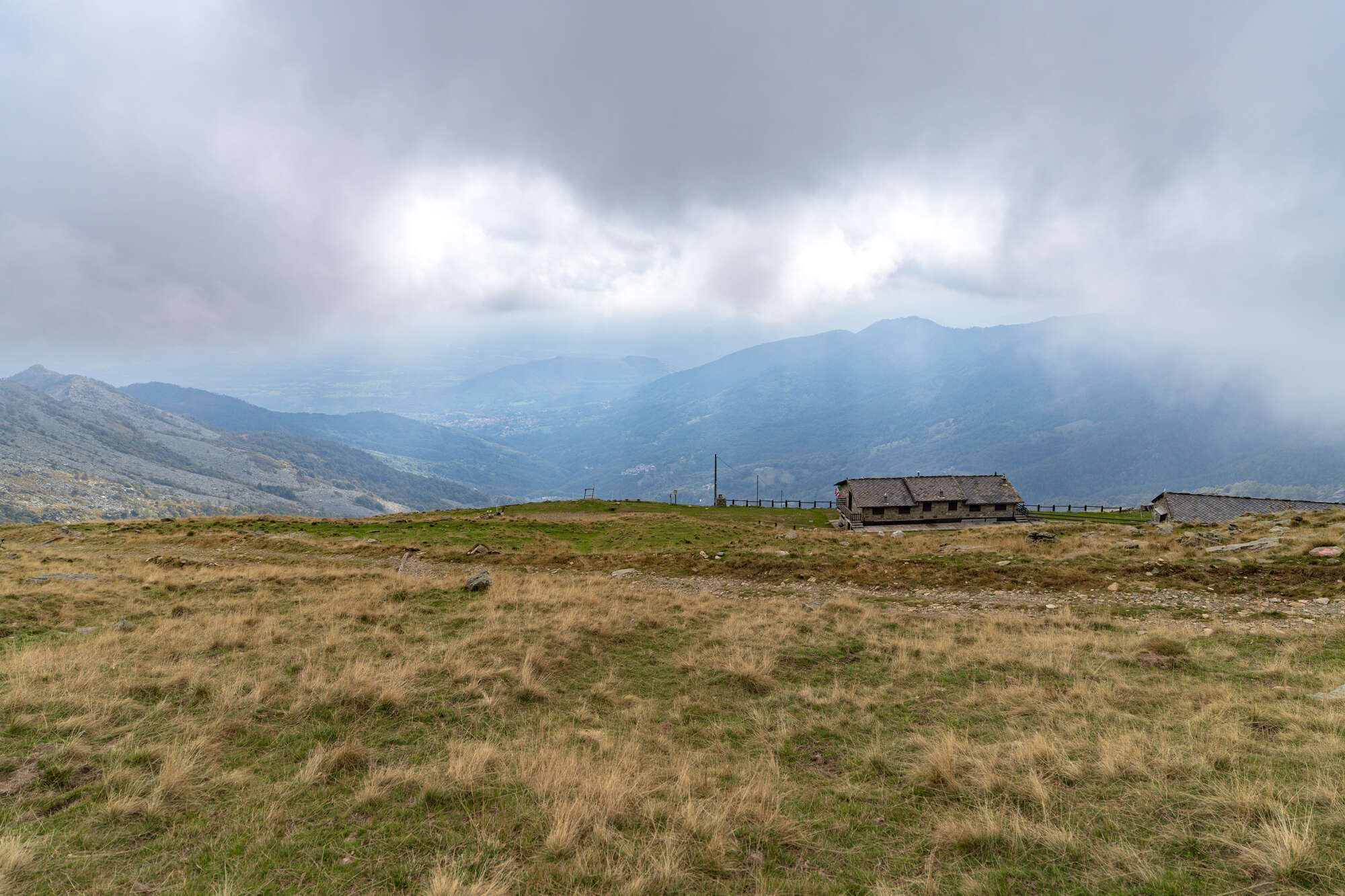
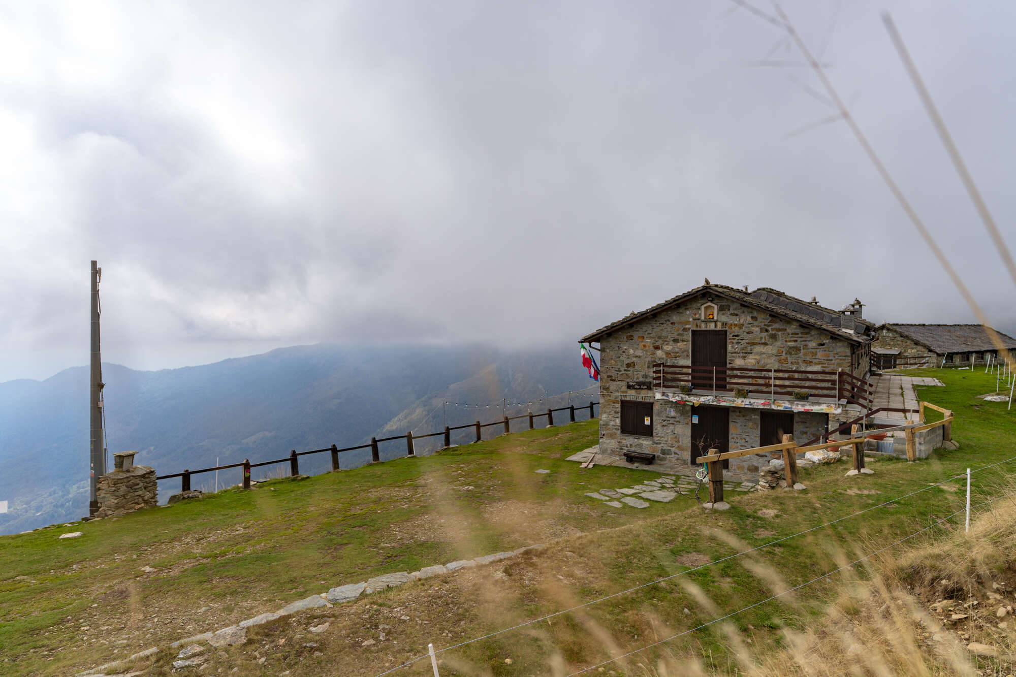
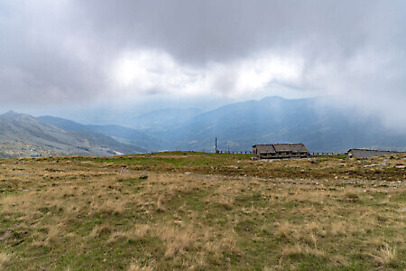
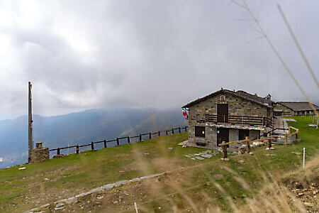
Leaving the ridge that heads toward the Uja di Corio, descend to the left and, with a few switchbacks, cut across an easy grassy slope with a view of the rifugio Alpe Soglia below (1,723 m, fountain), a fantastic viewpoint overlooking the val Malone.
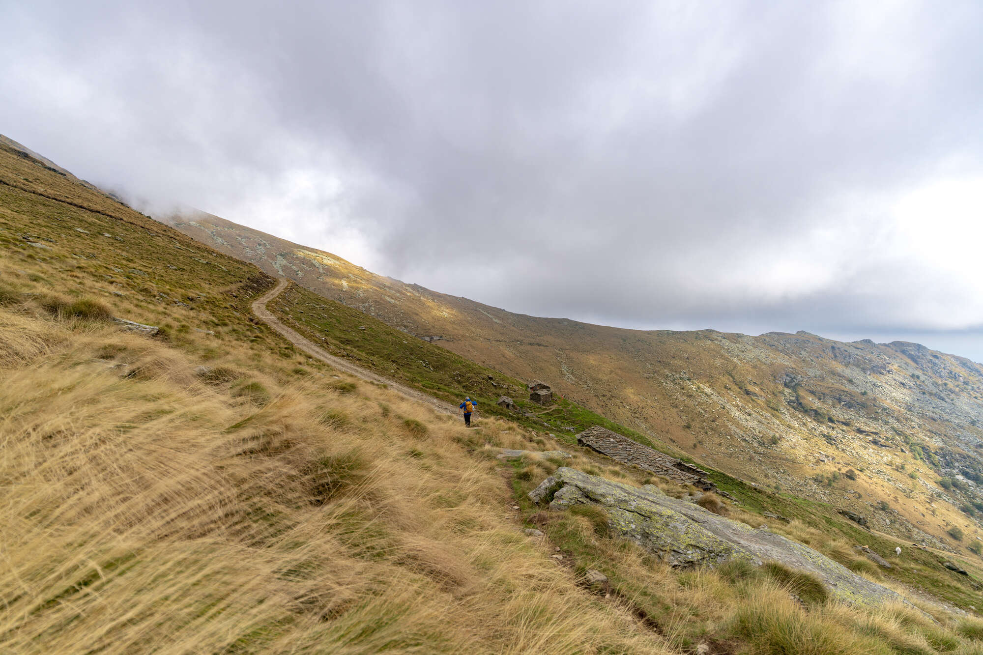
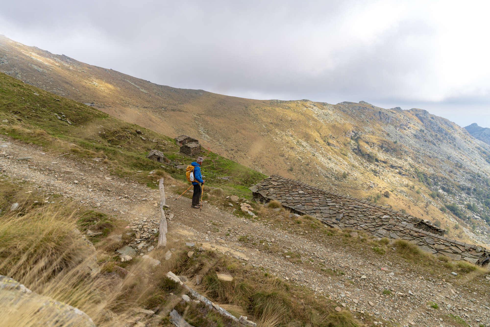
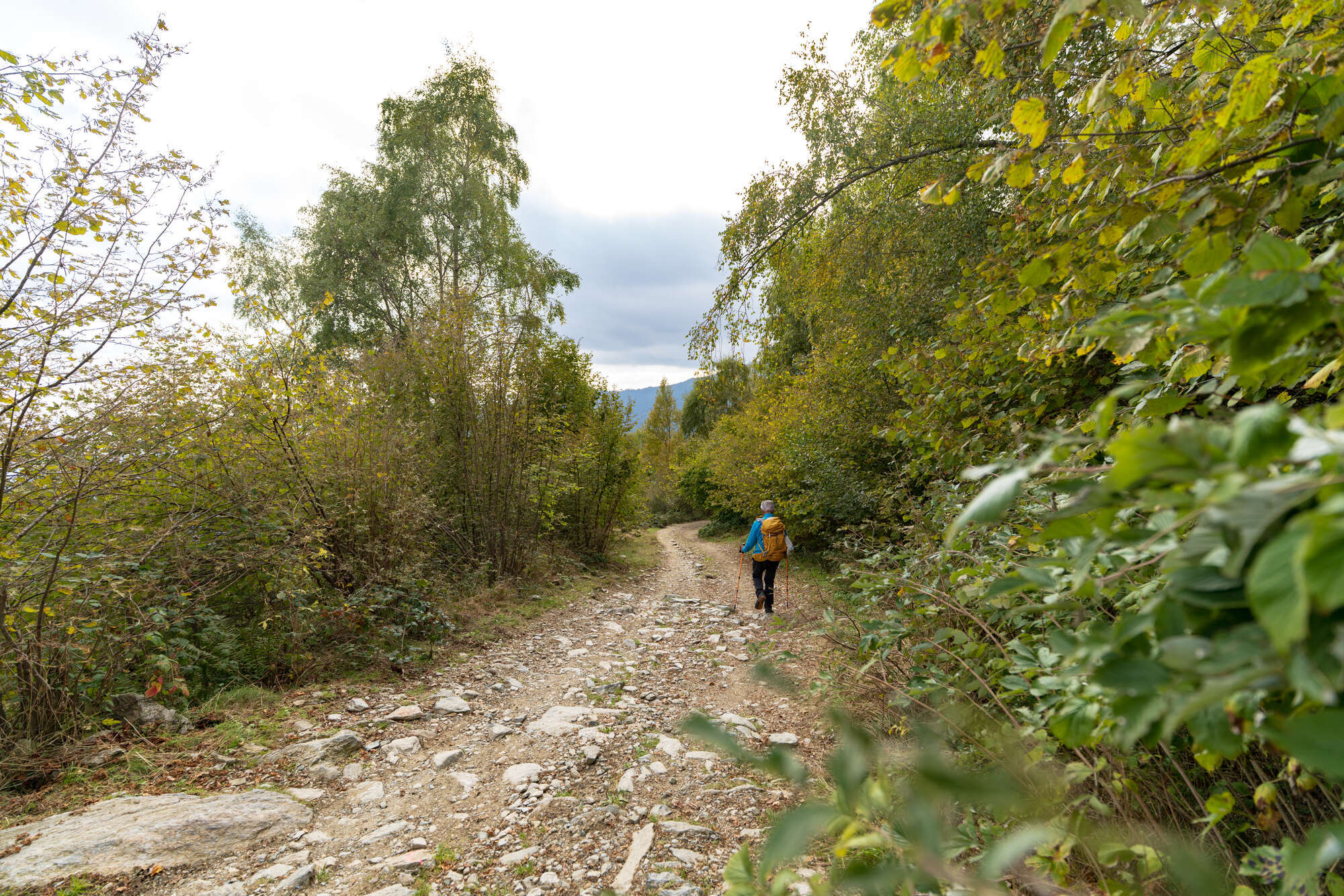
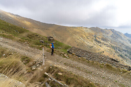
From the refuge, a shortcut leads down to the dirt access road below. Follow it downhill (shortcuts are possible and always well marked), passing several alpine pastures. Around 1,600 meters of elevation, the first birches appear, while below 1,400 m the cover thickens into mixed woodland dominated by hazel trees.
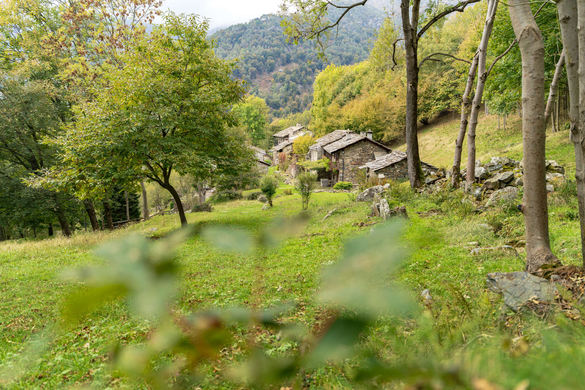
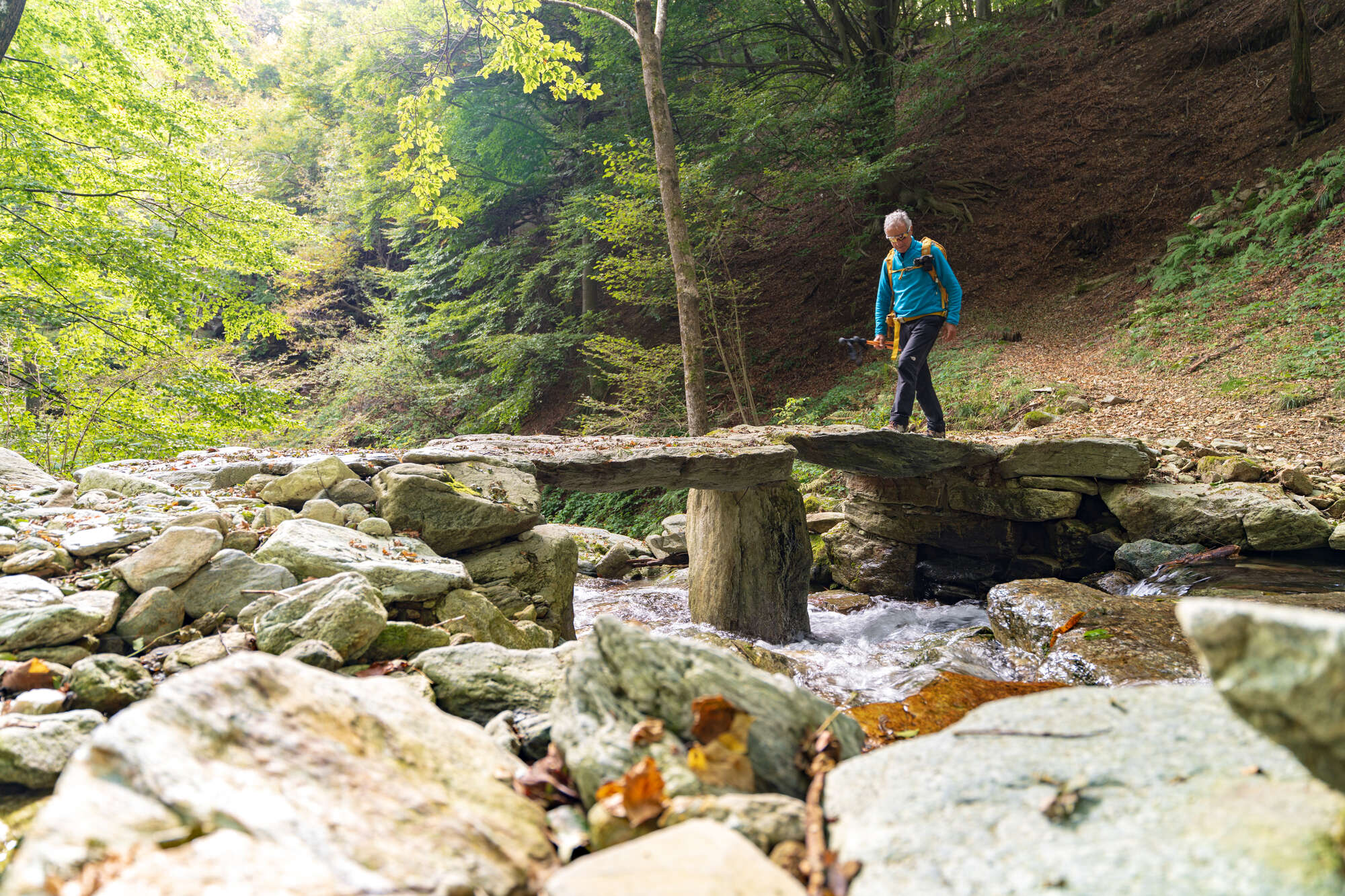
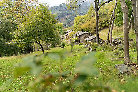
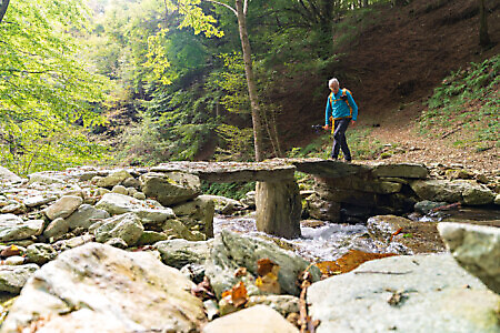
Much further down, a few dozen meters before the pretty hamlet of case Rui (1,112 m), turn left onto a path that runs alongside a large farmhouse. Leaving the mule track, turn left among the beeches, crossing the Malone tributary one last time on a distinctive bridge made of enormous rock slabs.
Continuing steadily downhill, you reach the sprawling hamlet of case Rughet (927 m), home to many 1970s holiday homes. Thanks to several mule tracks running between the houses, you can descend to the valley floor avoiding the asphalt. At the end, turn left onto the paved lane which, after three hundred meters, leads back to the Pian Audi car park, closing this long and scenic loop.
Text by Valerio Dutto of Cuneotrekking.comReport a problem
Did you encounter a problem on this itinerary? Let us know and help us keep all routes safe and accessible for everyone.
Submit report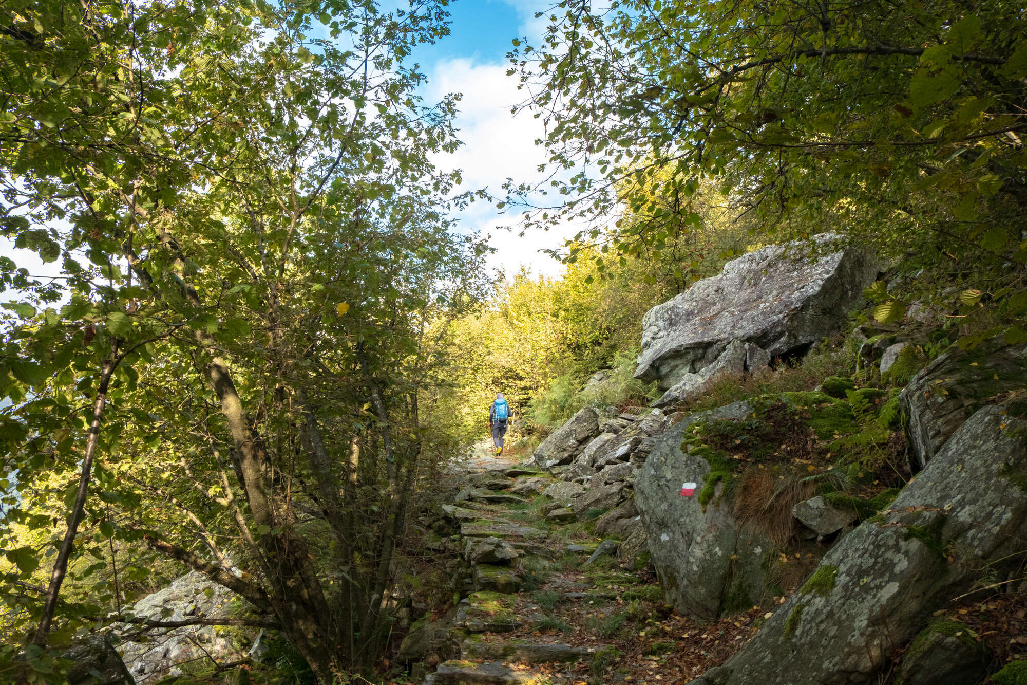
Nearby
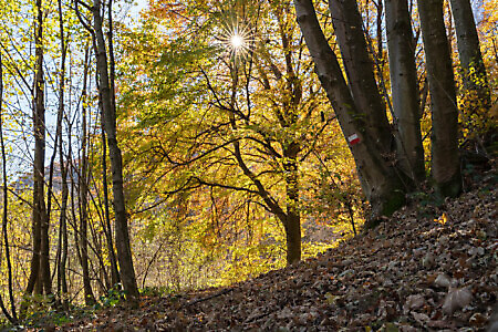
Bune Pere Route
CorioA woodland itinerary on the slopes of Bric Castello di Corio leads to the discovery of the slate quarries where flat stone slabs were extracted for use on roofs, steps, and balconies. These are important sites in local history, particularly from the second half of the 19th century to the…
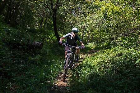
Slate Quarries and Merlo MTB Route
CorioA charming route through the lower valley that snakes between the Tesso and Malone valleys. Its name derives from the slate slabs used on roofs, steps, and balconies in many hamlets along the way, as well as from the scenic Pilone del Merlo. The trail follows a section of the…
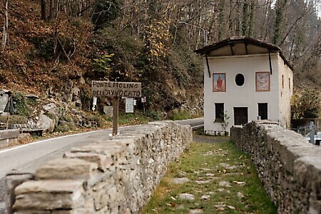
Advocate’s Bridge and Church of San Giacomo
Regione Molino Avvocato, 6 (Corio)The Advocate’s Bridge is made of stone, built over the Malone torrent probably in the 14th century. It was so...
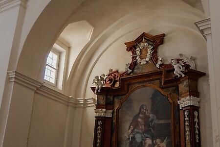
Chapel of the Holy Cross
Piazza della Chiesa, 4 (Corio)The building is open on three sides, with the north side adjacent to a private residence. Its façade faces northeast....
Church of San Genesio Martire
Piazza della Chiesa 2 (Corio)The church features a rectangular single nave divided into three bays with groined barrel vaults, ending in a semicircular apse...